

10.63± Acres in the Heart of Massachusetts
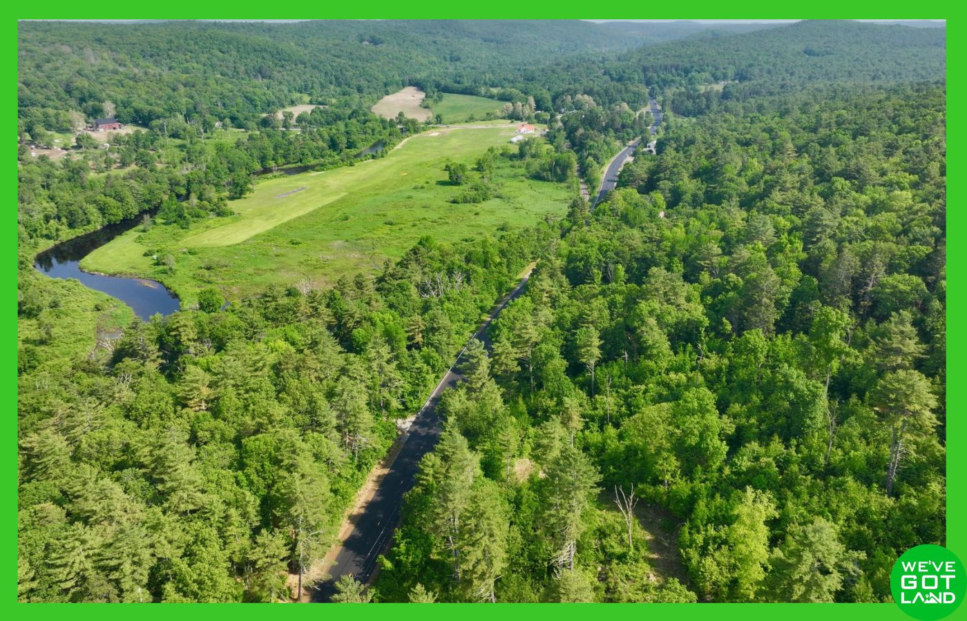
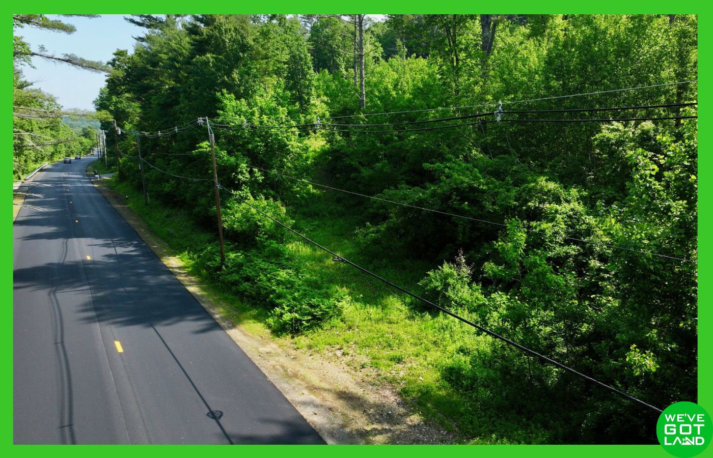
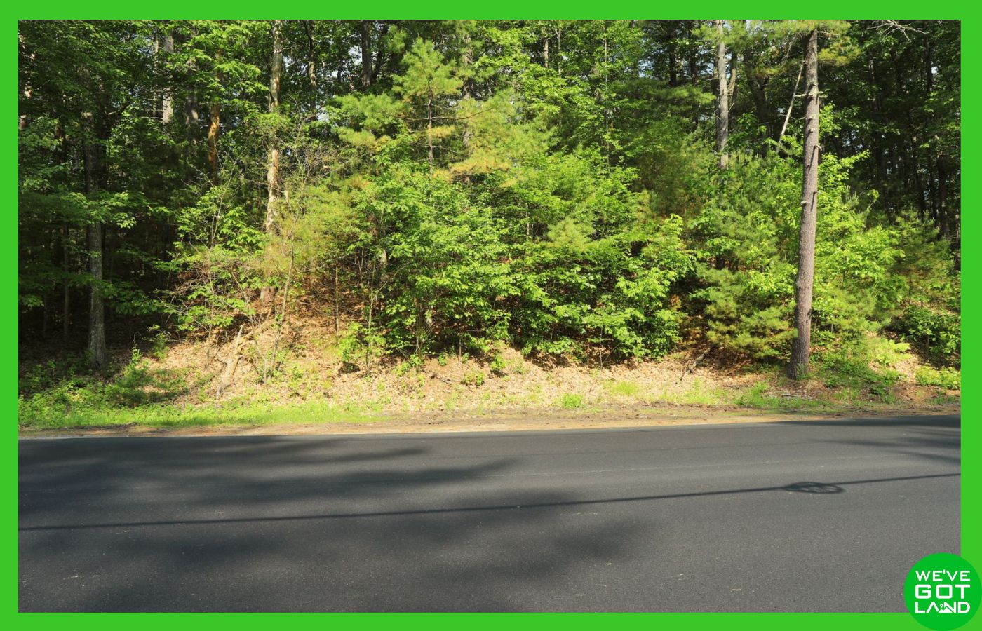
This 10.63± acre offering—spanning two adjoining lots in Hampshire and Worcester County—provides an outstanding opportunity for residential development or investment. Featuring direct paved road access on Gilbertville Road, public water availability, overhead electric lines, and a successful percolation test already completed, this land is primed for your vision.
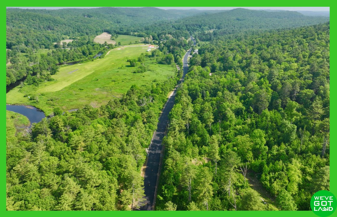
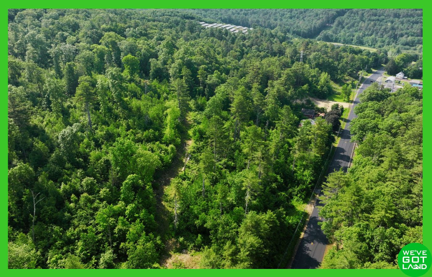
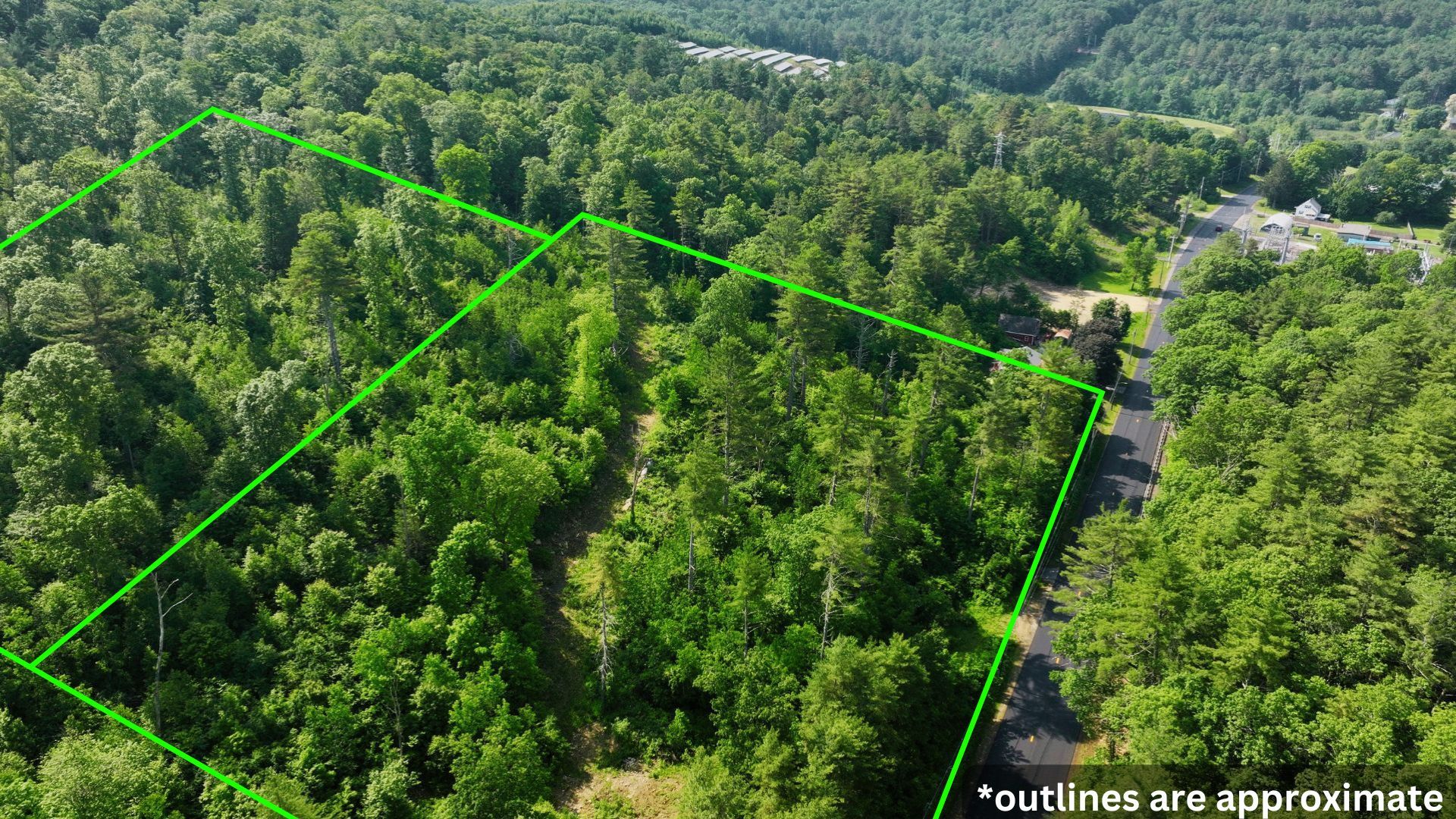
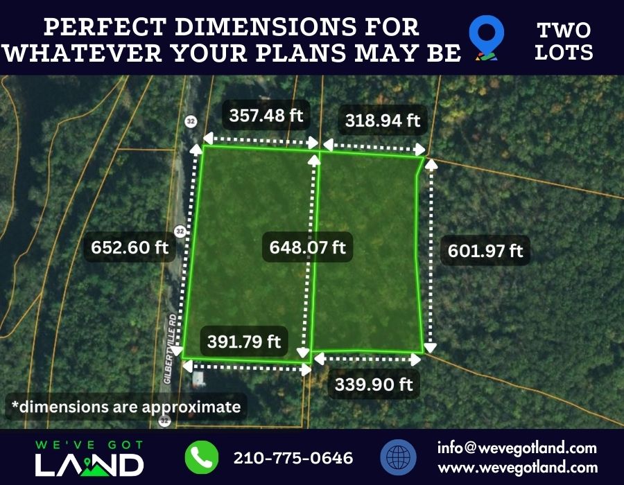




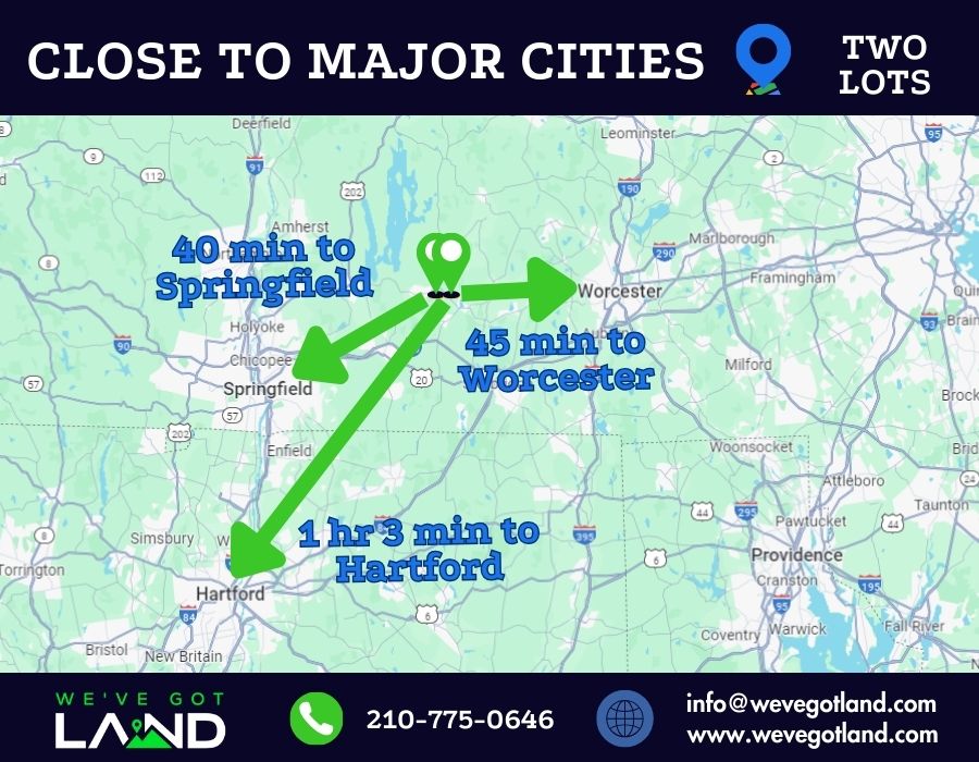
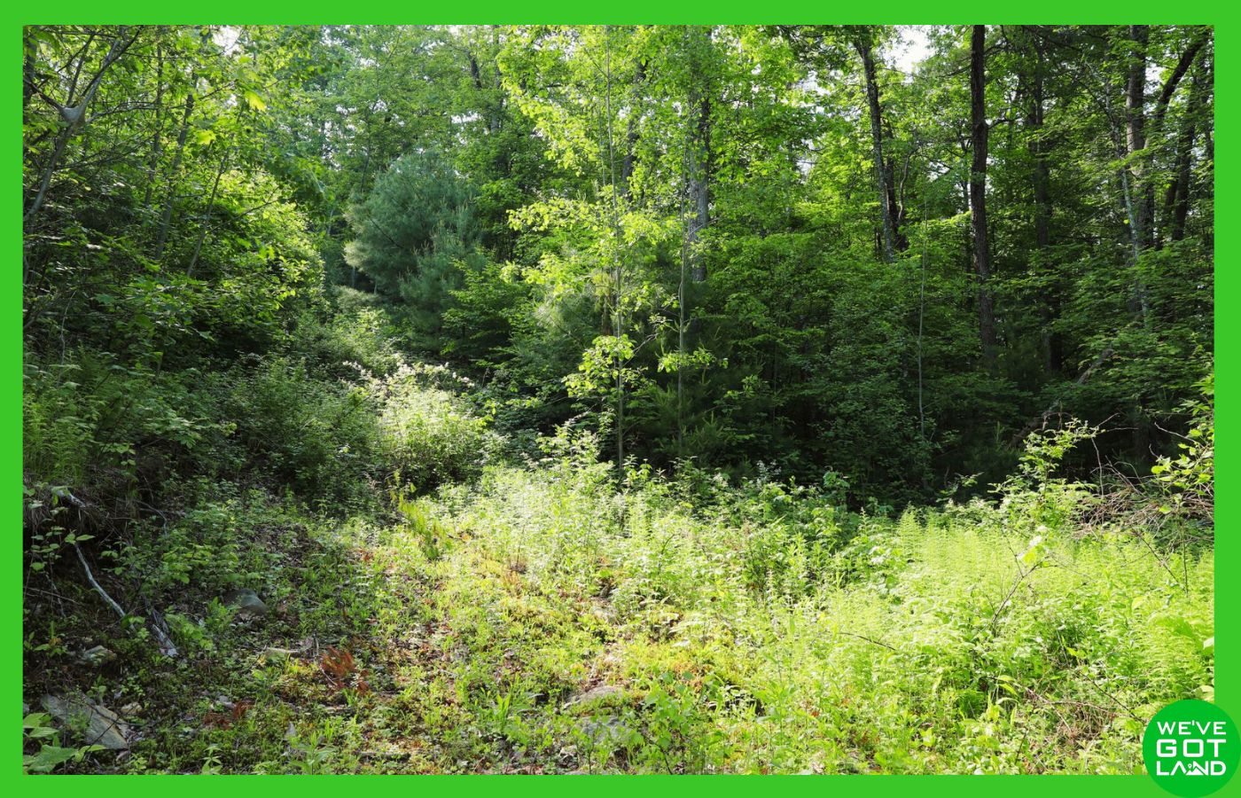
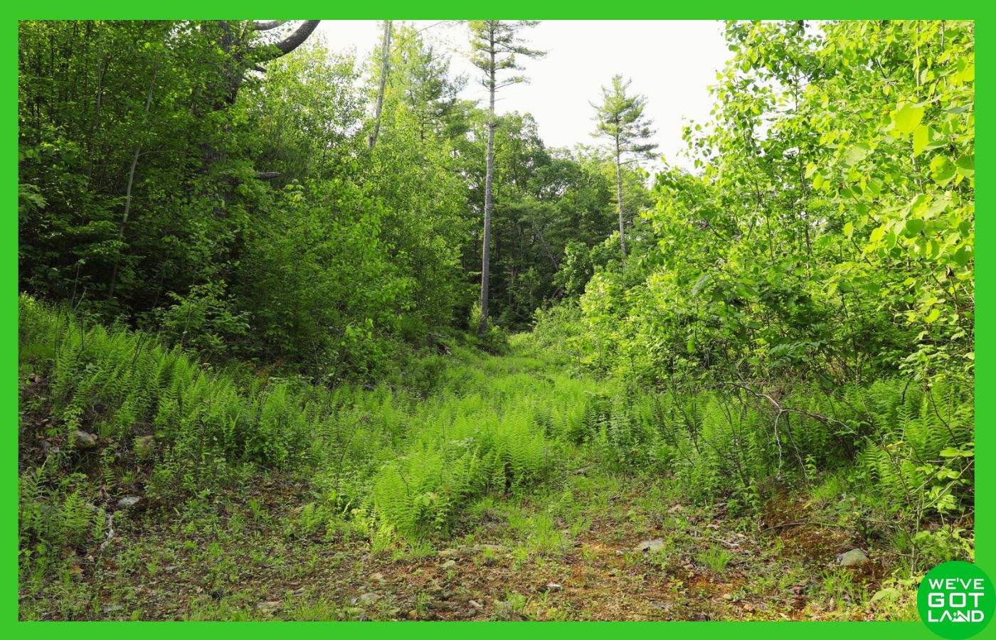
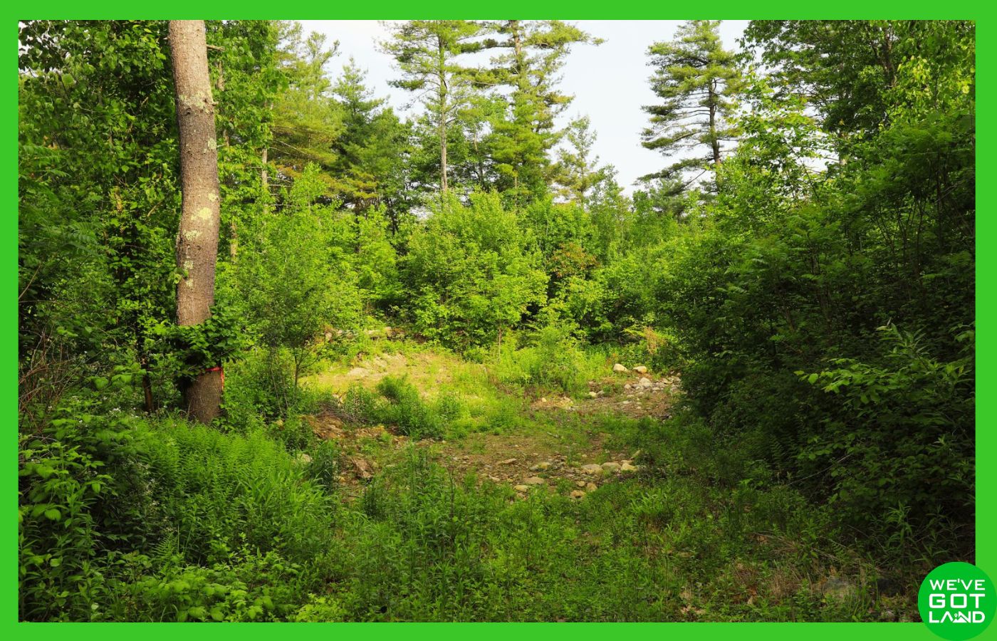

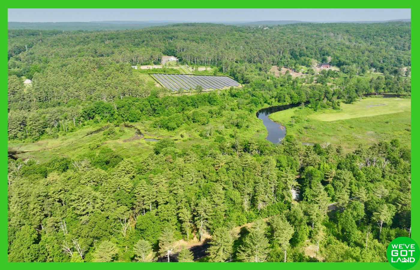
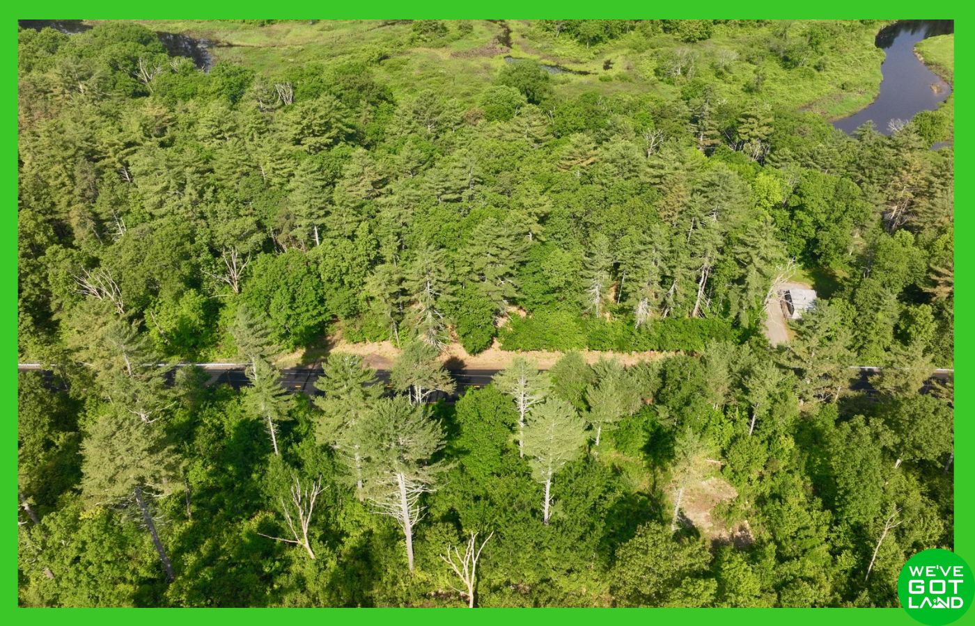
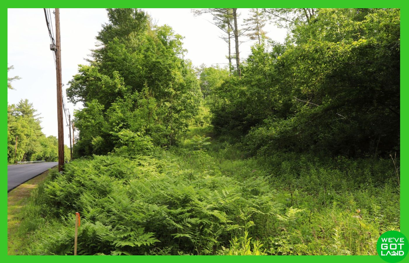
You can buy with confidence! Make this property yours – just click reserve above!
Description
This 10.63± acre offering—spanning two adjoining lots in Hampshire and Worcester County—provides an outstanding opportunity for residential development or investment. Featuring direct paved road access on Gilbertville Road, public water availability, overhead electric lines, and a successful percolation test already completed, this land is primed for your vision.
Key Features:
🟢 Total Acreage: 10.63± acres (5.65± acres in Hampshire County, MA + 4.98± acres in Worcester County, MA)
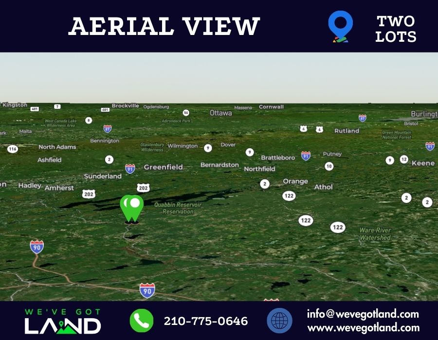
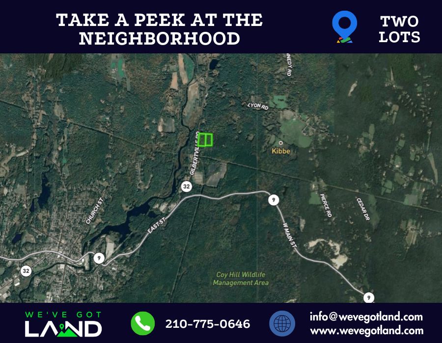
🟢 Location: Gilbertville Rd, Ware, MA 01082
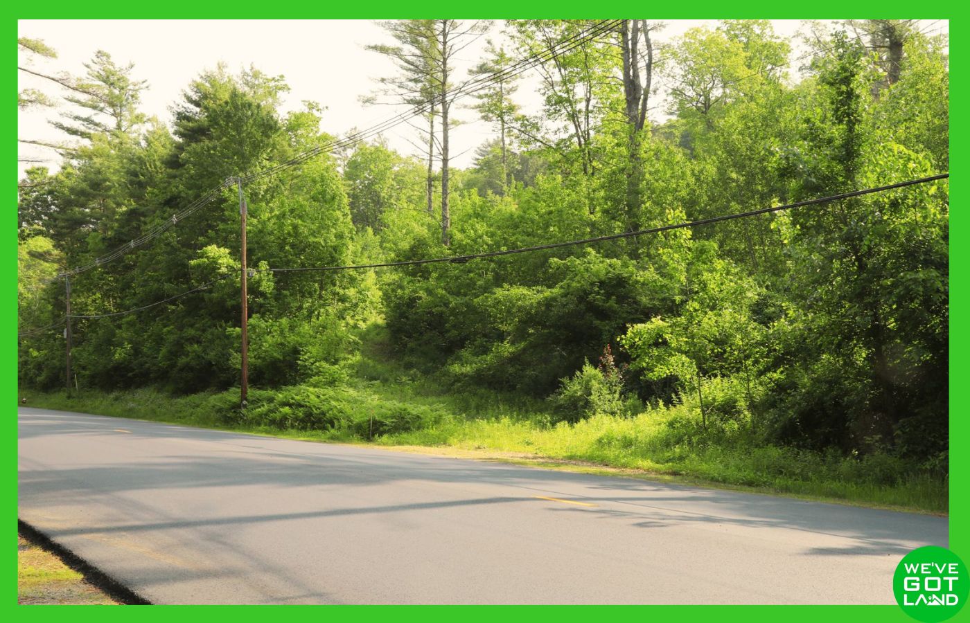
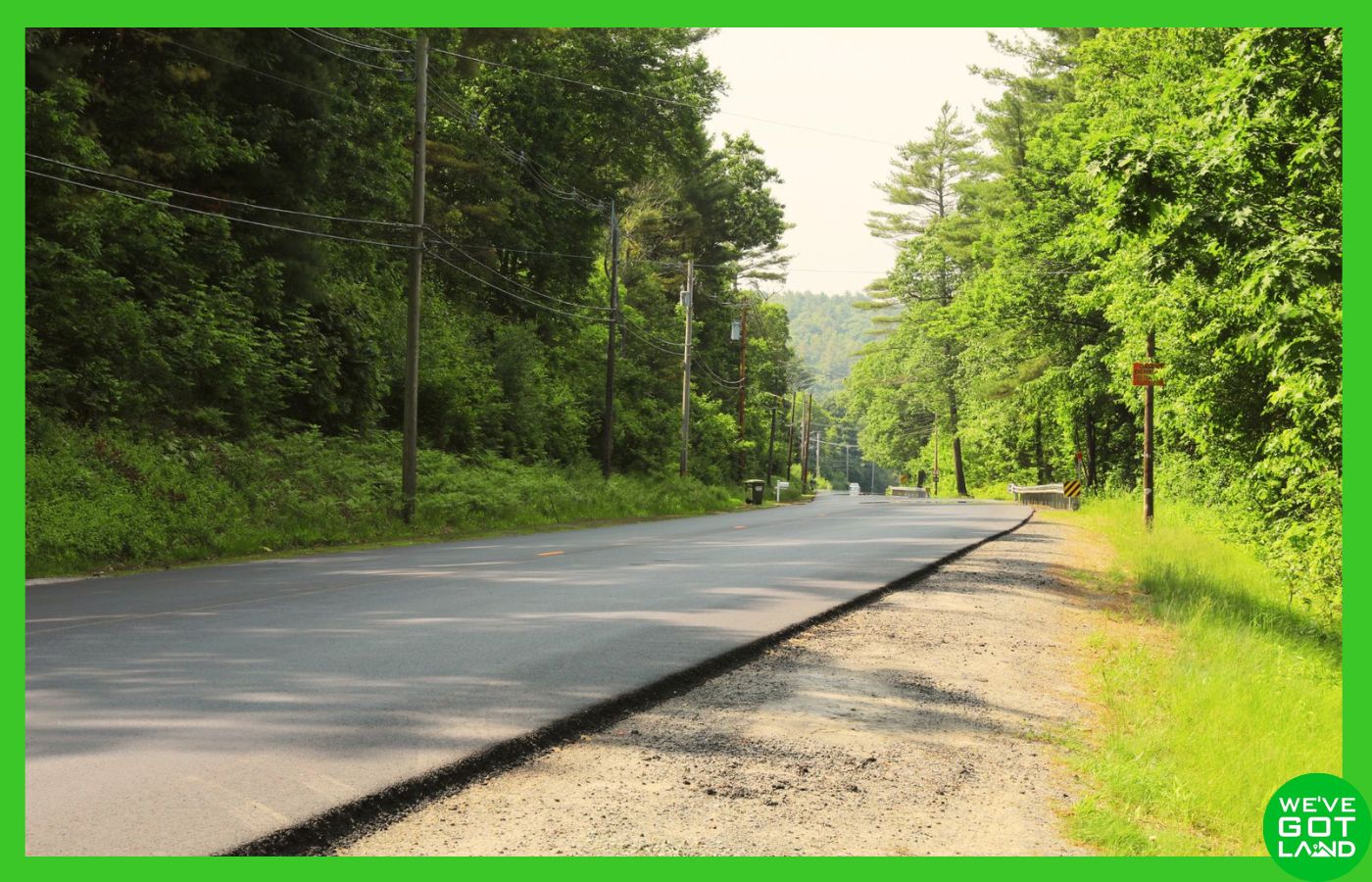
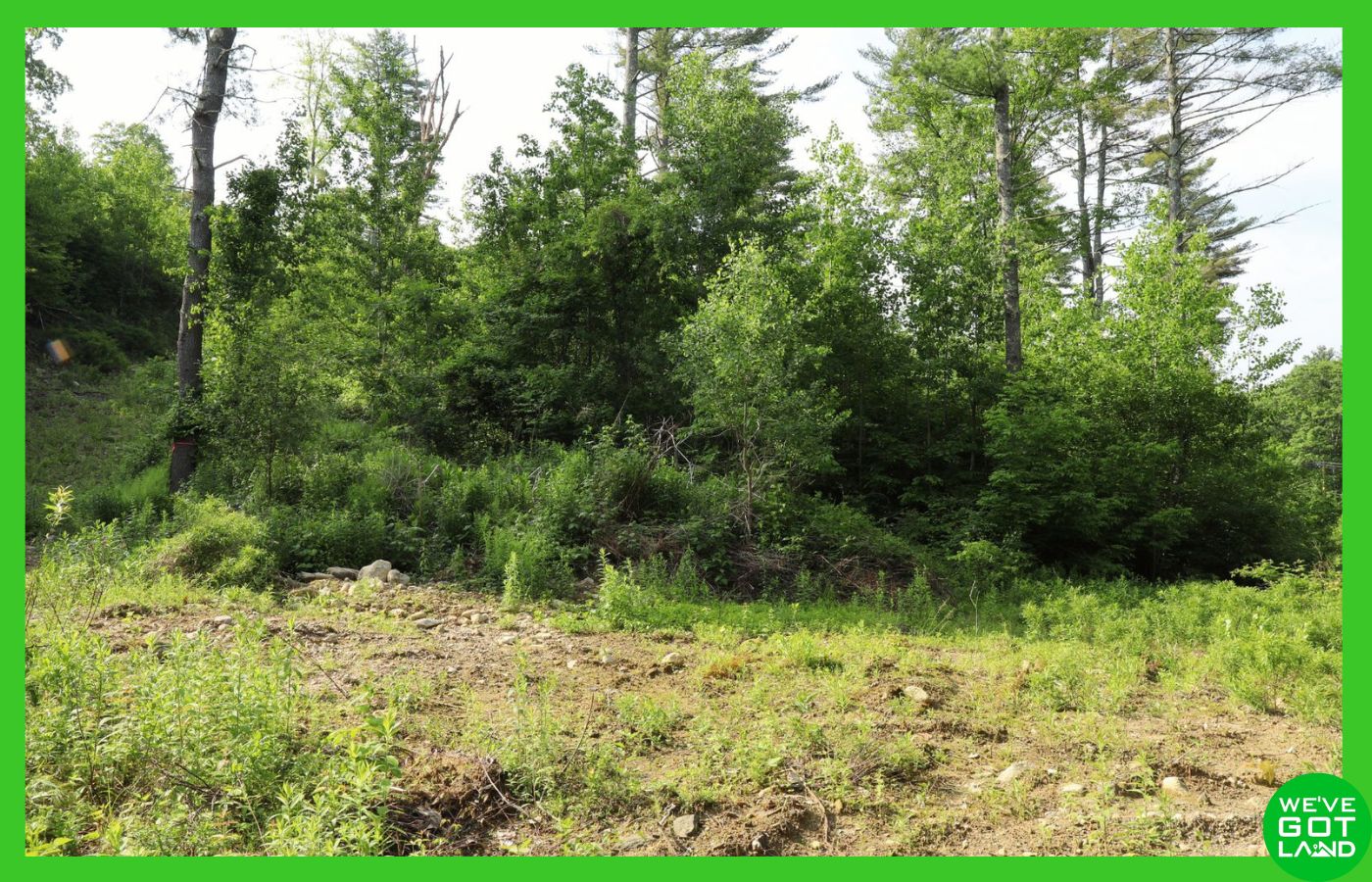
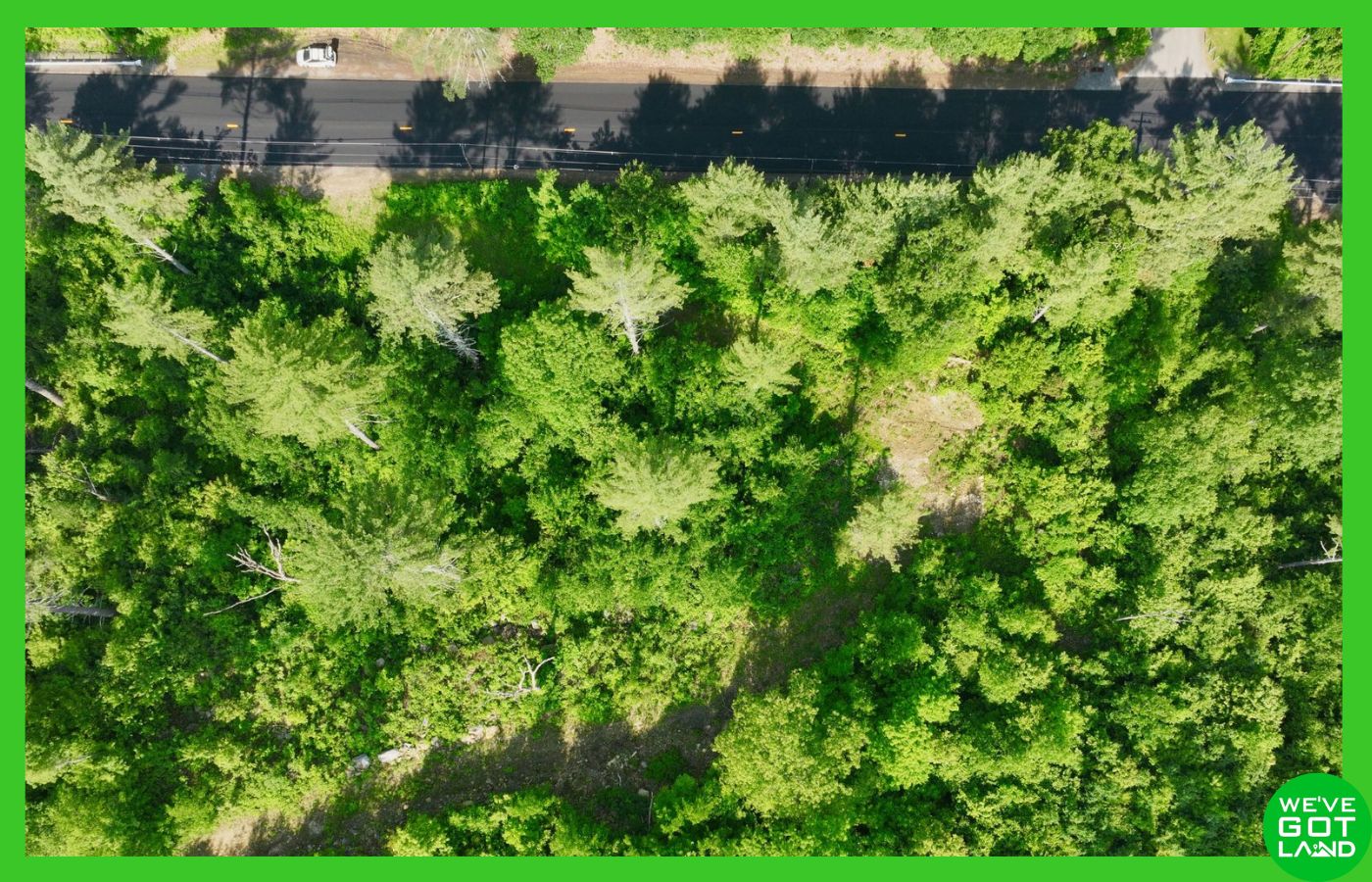
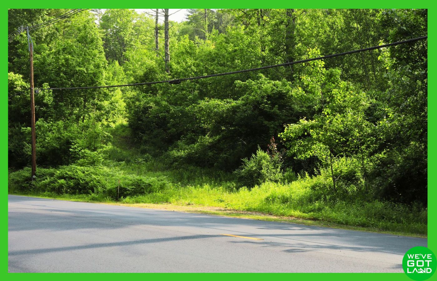
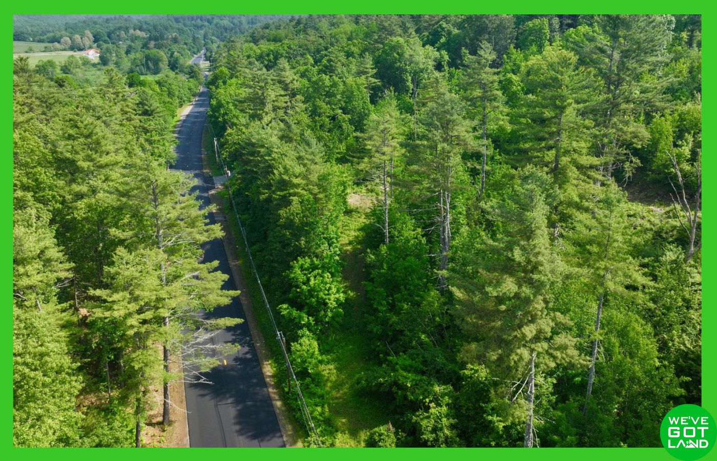
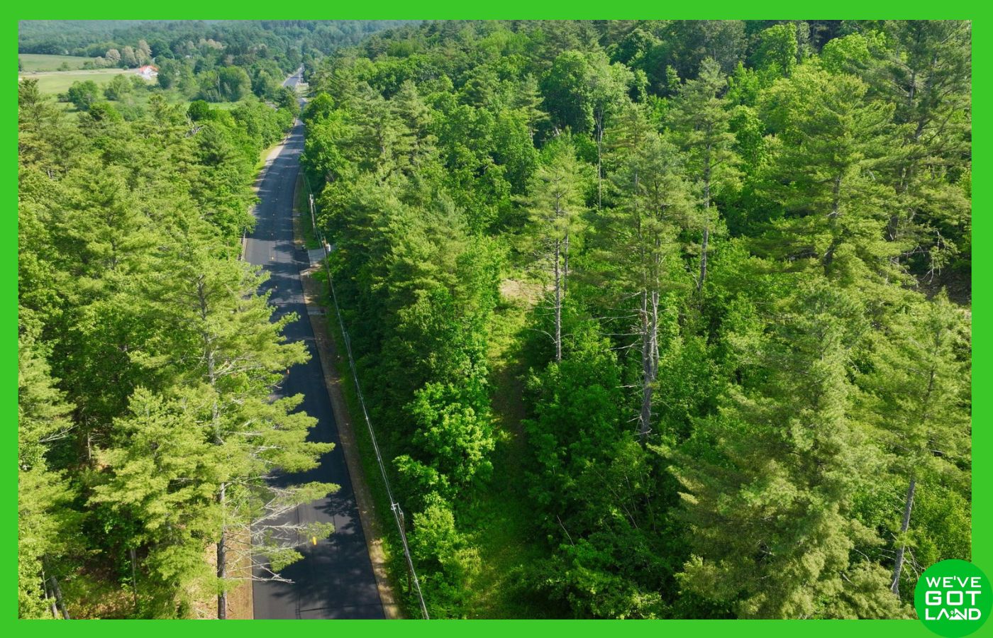
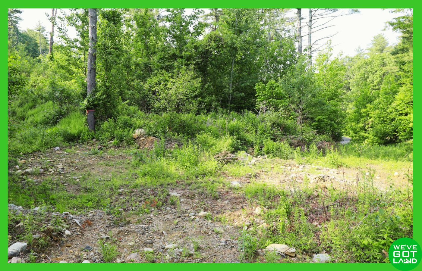
🟢 Road Access & Utilities: Paved public road (Gilbertville Road/MA-32), with partially cleared entrance and trail onto properties – Public water available for connection (connection through contractor), overhead electric lines at street ((buyer to confirm availability and connection costs)
🟢 Annual Taxes: $235.69 (Hampshire), $97.70 (Worcester) | No back taxes
🟢 Perc Test: Passed for standard septic system (contact for report)
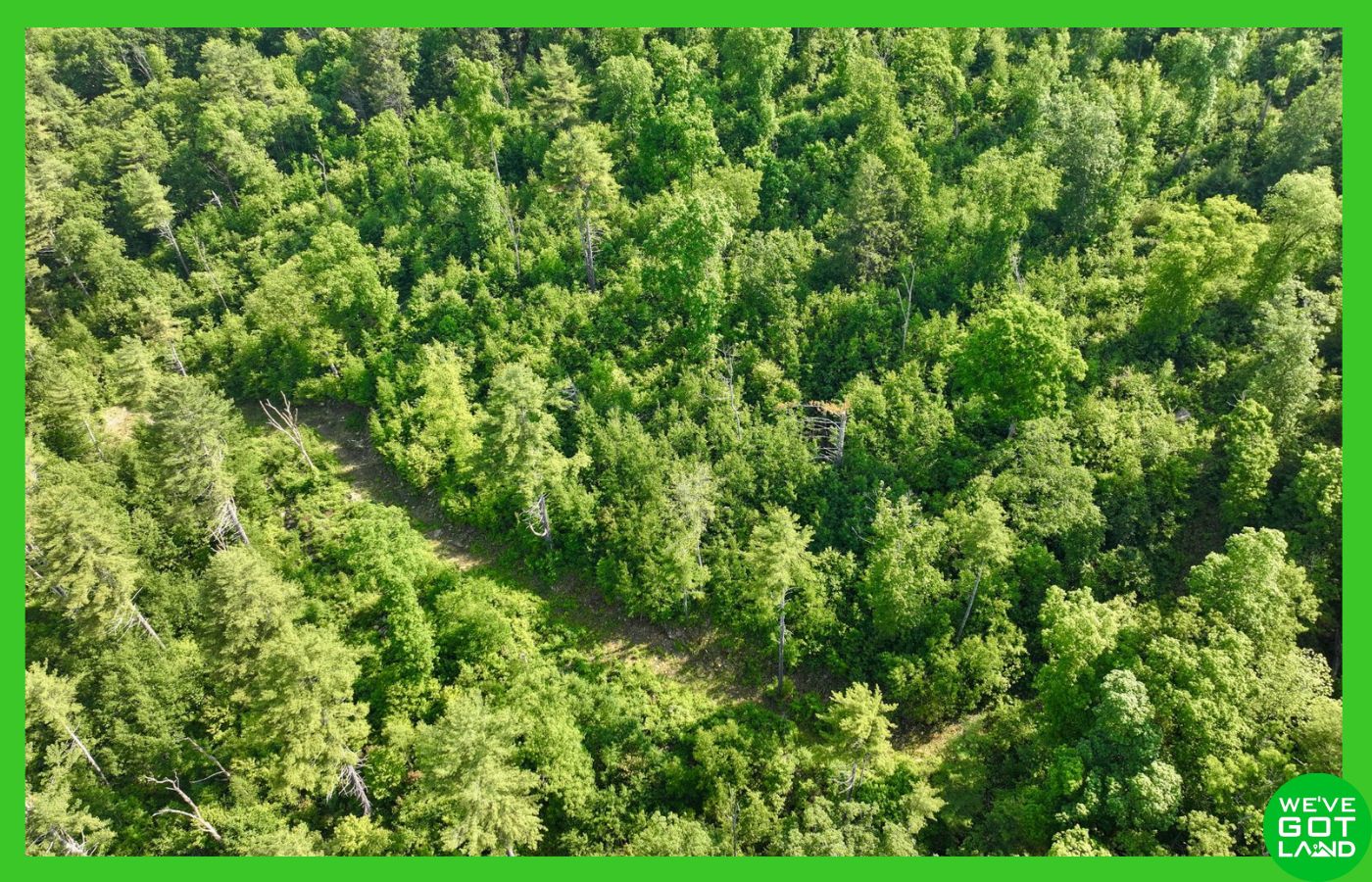
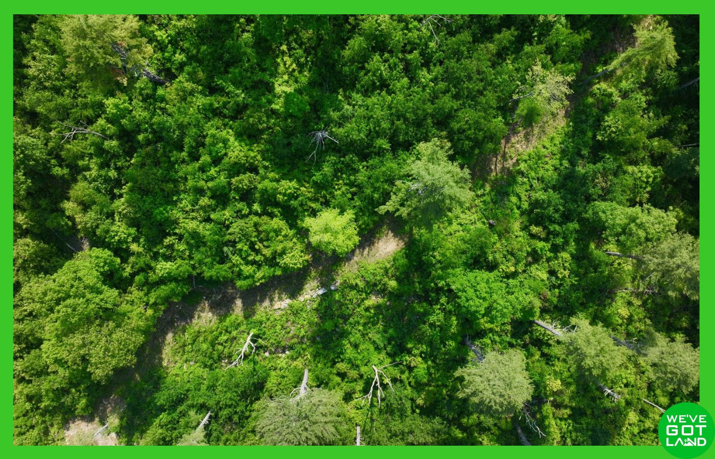
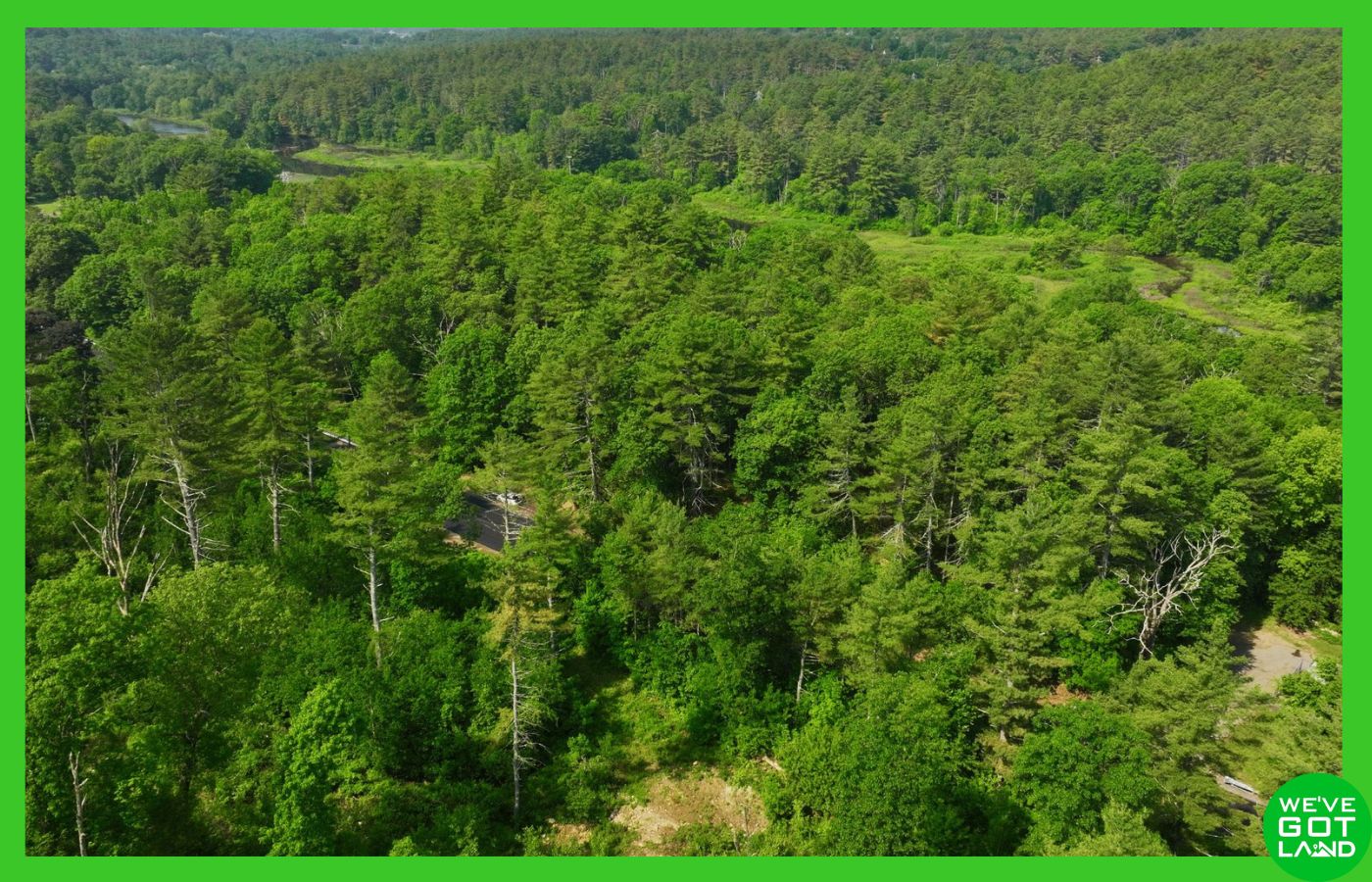
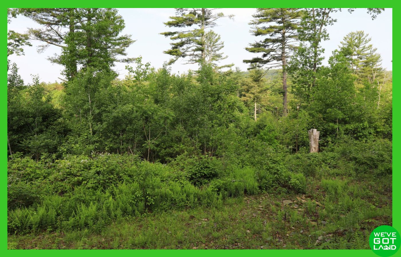
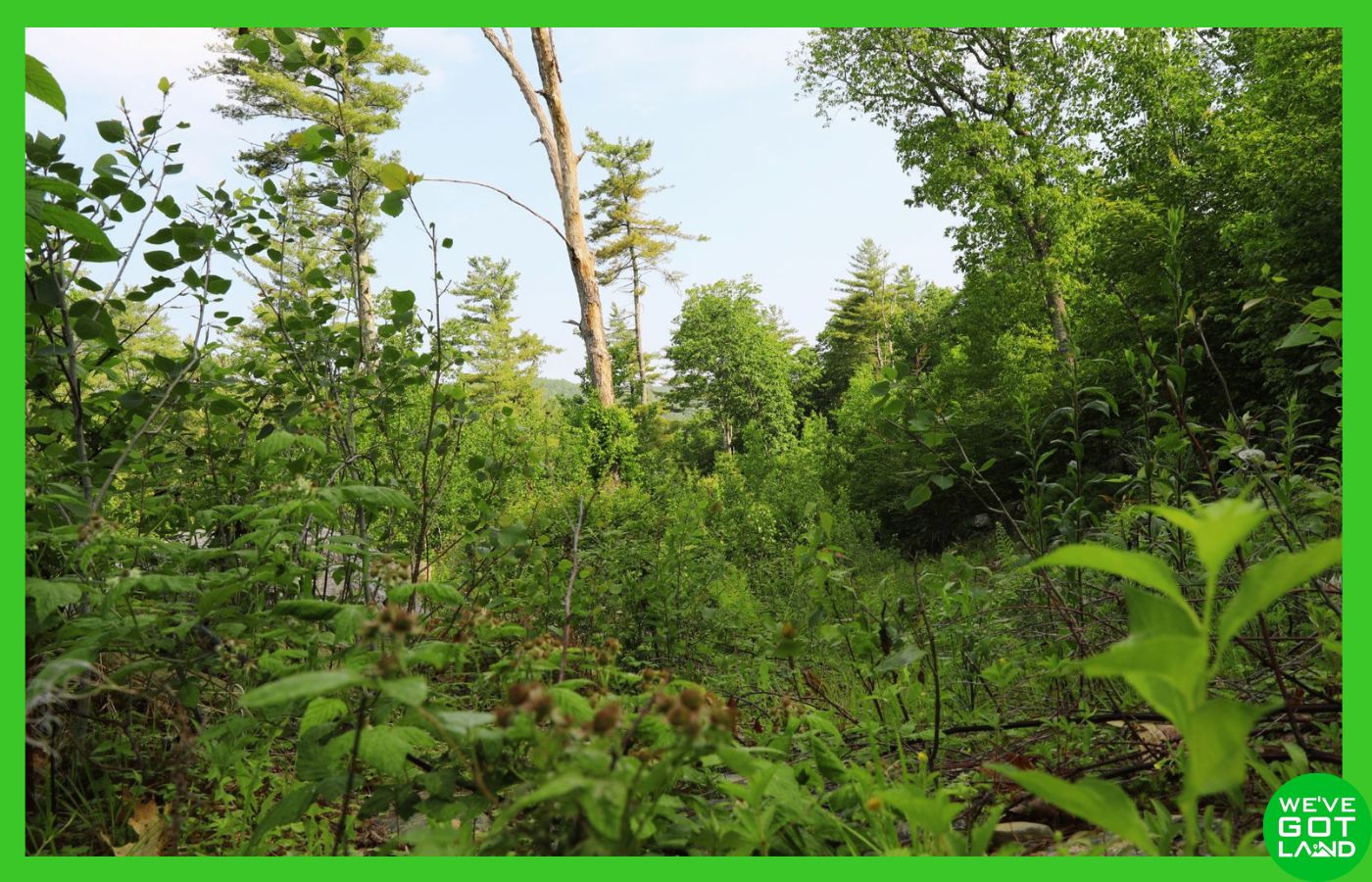
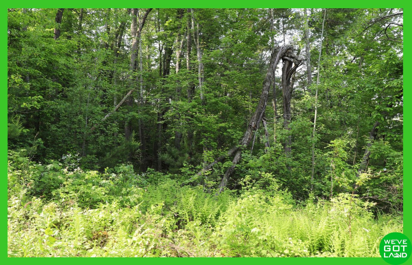
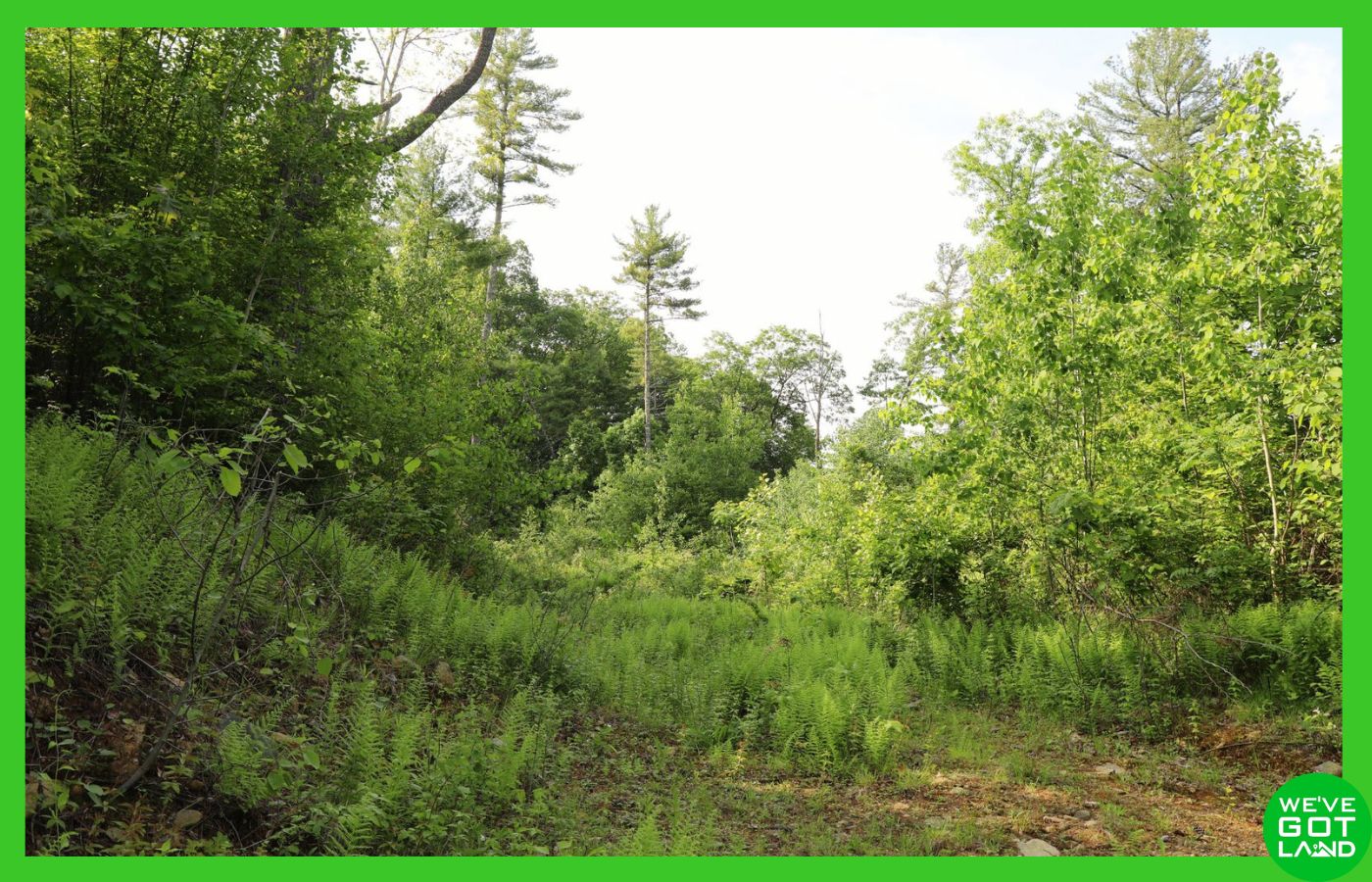
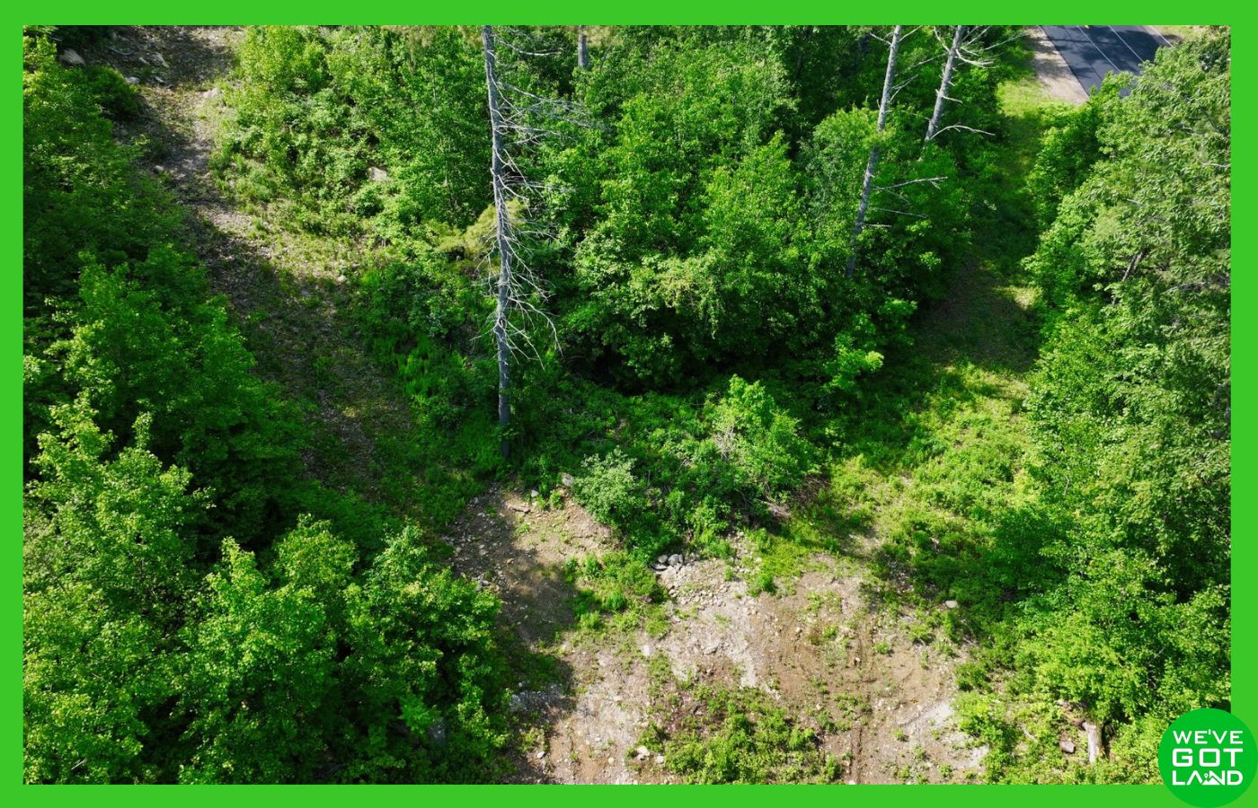
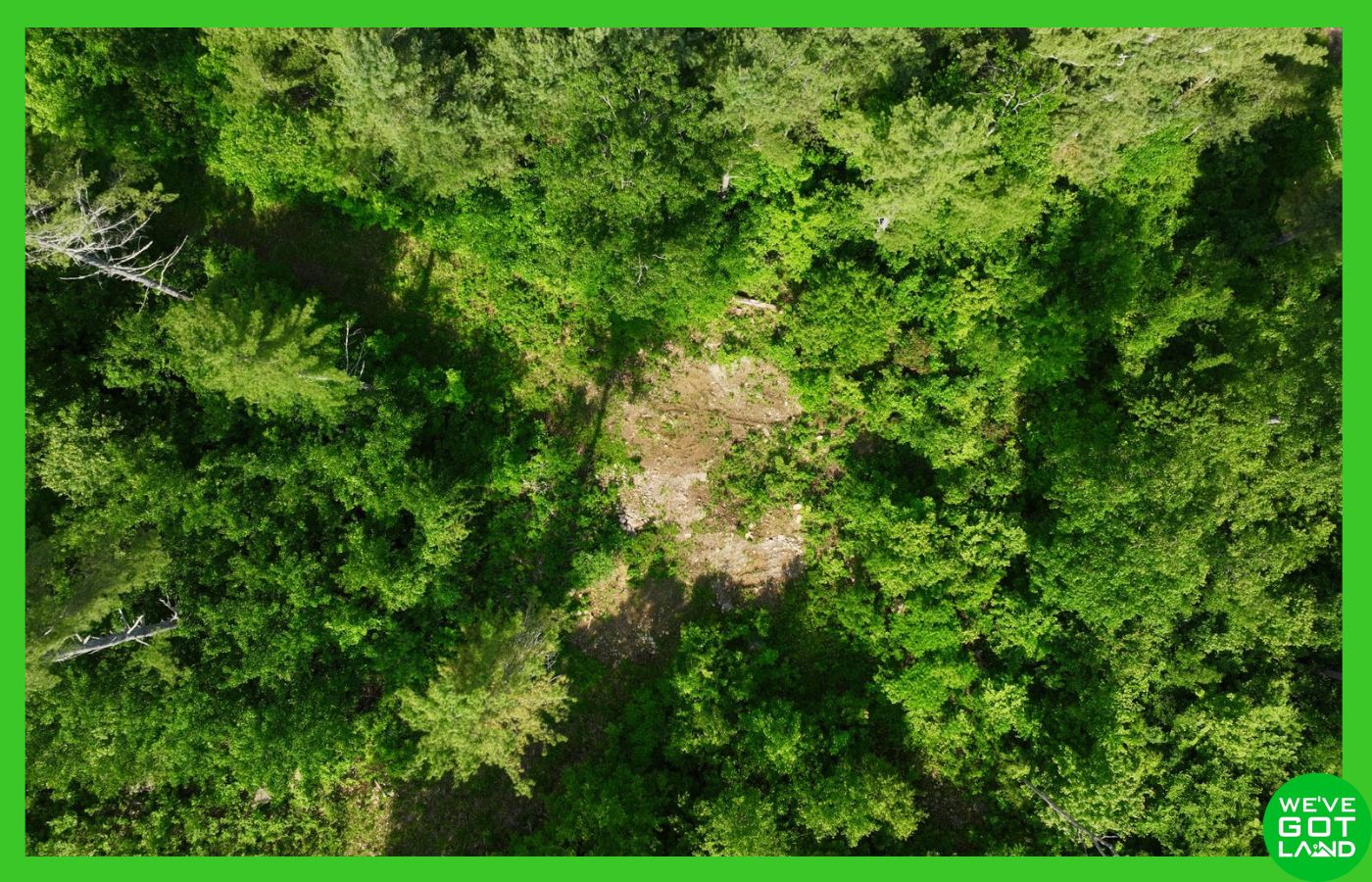
🟢 Terrain: Steep to hilly, some flat areas—ideal for creative home design or elevated building sites
🟢 Zoning: Residential Business (Hampshire) / Rural Residential (Worcester) – Single-family homes allowed, two-family with special permit, some commercial use permitted
🟢 No HOA
🟢 Mobile Homes/RVs/Camping: Not permitted outside of limited use during construction
🟢 Sewer / Septic: Septic system required—soil suitability confirmed via perc test
Property Overview:
This two-lot portfolio offers prime access to buildable acreage in a desirable area of central Massachusetts. The Hampshire County lot (5.65± acres) is served by public water and electric with a completed percolation test, providing a clear path to residential construction. The adjoining Worcester County parcel (4.98± acres) adds additional development or buffer space.
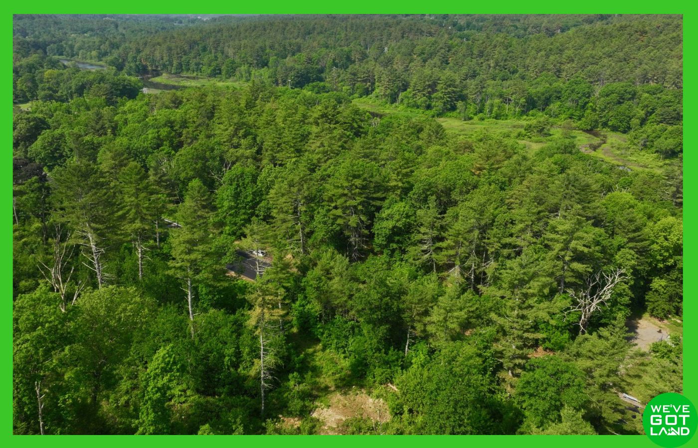
The lots feature prominent paved road frontage along Gilbertville Road, allowing for excellent access year-round. The terrain is steep and hilly with select flat areas, presenting an ideal canvas for elevated home sites or designs that take advantage of hillside views.
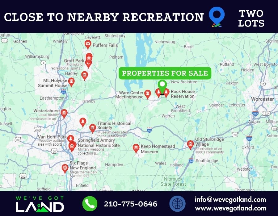
Just five minutes from the heart of Ware, this property offers a balance of privacy and accessibility. Essential services, shopping, and schools are all within a short drive. The surrounding region offers abundant recreational opportunities with access to parks, trails, and area lakes.
Zoning in both towns supports single-family construction and, with permitting, limited multi-family and select commercial uses for the Hampshire County lot fronting Gilbertville Rd. With no HOA or restrictive covenants, you have flexibility to tailor the property to your needs.
By proceeding with a purchase, buyers acknowledge full responsibility for verifying all information and assume all risks associated with the property. The seller shall not be liable for any inaccuracies or the buyer’s failure to conduct proper due diligence.
Driving Directions
Starting in Ware at the intersection of Main St and North St, head southeast on Main St toward Bank St for 0.4 miles. Continue on East St for another 1.2 miles, then turn left onto Gilbertville Rd (MA-32 N). The property will be on your right in 0.7 miles.
GPS Coordinates
Paste this into your map app:
42.277, -72.2137
Property Information
Parcel Size
10.63± acres – (5.65± acres in Hampshire County, MA + 4.98± acres in Worcester County, MA)
State
Massachusetts
County
Hampshire & Worcester
Nearest Cities
Ware, MA – Springfield, MA
Parcel #
Hampshire: WARE-000030-000000-000048 (3417460) – Worcester: WBFD-000023-000010-000010 (3405832)
Address
0 Gilbertville Rd, Ware, MA 01082
Legal Description
SEE DEED
Features
Acres
10.63
Dimension
1303.4 ft x 1303.4 ft
County
Hampshire – Worcester
Subdivision
Exists
Access
Paved road
Power
Available nearby (Buyer to verify)
Water
Public water
Coordinates
42.227, -72.2137
Zoning
Residential Business (Hampshire) / Rural Residential (Worcester)
Elevation
520-680 ft
All Property Details
| County | Hampshire & Worcester Counties, MA |
| Street | 0 Gilbertville Rd, Ware, MA 01082 |
| Parcel number | Hampshire: WARE-000030-000000-000048 (3417460) Worcester: WBFD-000023-000010-000010 (3405832) |
| Size | 10.63± acres (5.65± acres in Hampshire County, MA + 4.98± acres in Worcester County, MA) |
| Terrain | Steep to hilly, with some flat areas |
| Access | Paved road |
| Property zoning | Residential Business (Hampshire) / Rural Residential (Worcester) |
| Time to build | No time limit to build |
| RV’s/Mobile Homes/Camping | Not permitted outside – possible limited use during construction |
| Tiny homes | Tiny homes are allowed. Dwelling shall be 500 sq ft min, on foundation |
| HOA | None |
| Annual Taxes | $235.69 (Hampshire), $97.70 (Worcester) | Both paid current – Buyer to verify |
| Electric | Available at front of property (Buyer to confirm availability and cost to connect) |
| Water | Public water – will need to connect with local contractor |
| Sewer | Would need to install a septic Percolation test already complete, with satisfactory results (inquire for report) |
| Elevation | 520-680 ft |
| Minimum build size | N/A |
| Setbacks | Hampshire: 125′ frontage (residential), 175′ (commercial) Worcester: 70’F / 50’S / 50’R |
| Flood Zone | Hampshire: Flood Zone C (designated low risk) |
| Utilities disclaimer | We do not make recommendations on any vendors. The utilities installer contacts listed are purely for your information. There may be other options available in the area. Please use this information at your own discretion |
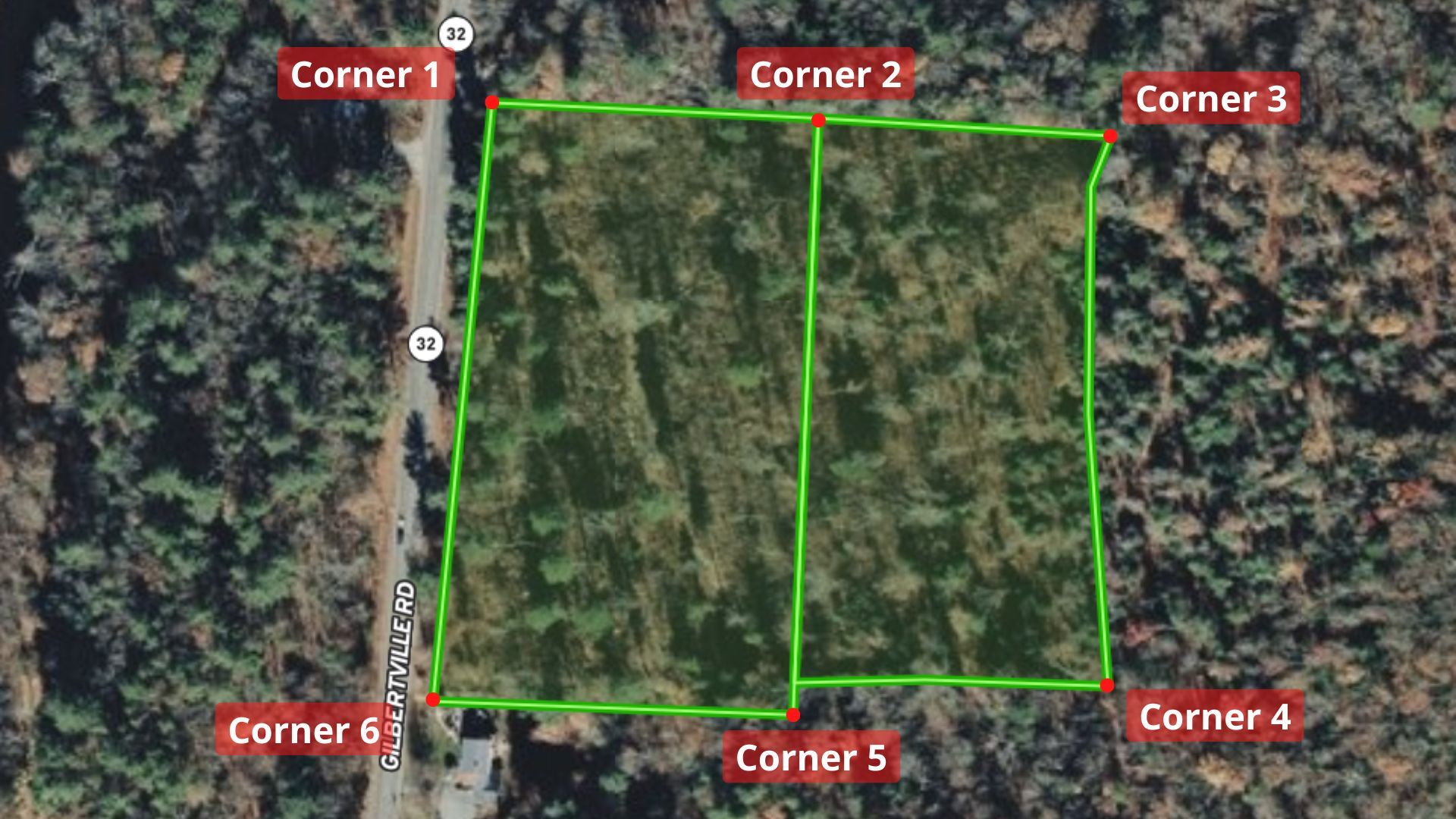
GPS Coordinates (approximate)
| Corner 1 Coordinates | 42.2779, -72.2136 |
| Corner 2 Coordinates | 42.2778, -72.2123 |
| Corner 3 Coordinates | 42.27775, -72.2111 |
| Corner 4 Coordinates | 42.27615, -72.21115 |
| Corner 5 Coordinates | 42.2761, -72.2124 |
| Corner 6 Coordinates | 42.27615, -72.2139 |
Nearby schools
| Stanley M. Koziol Elementary School |
| Ware Middle School |
| Ware Junior/Senior High School |
Nearby Attractions



Points of Interest and Their Proximity
| Name | Distance |
|---|---|
| Ware | ~5 min drive |
| Rock House Reservation | ~5 min drive |
| Grenville Park | ~7 min drive |
| West Brookfield | ~10 min drive |
| Quabbin Reservoir | ~16 min drive |
| Local shops, restaurants, and healthcare | All within 10 min drive |
| Puffers Falls | ~38 min drive |
“Refer someone who buys land from us and we will pay a referral fee!!”
As a nationwide real estate investment firm specializing in land acquisition and sales, we empower our clients to make informed decisions. Although we don’t conduct on-site meetings, we strongly recommend you visit the property to experience its potential firsthand. Ready to explore? Contact us today to arrange your site visit!
Disclaimer: We make every effort to provide accurate and up-to-date information about this property based on available public sources and our own research. However, it is the buyer’s responsibility to verify all information, including but not limited to: zoning, access, utilities, buildability, and permitted uses. All buyers are encouraged to conduct their own due diligence before purchasing. This property is sold “as-is” with no warranties or guarantees, expressed or implied.