

🏜️ 2.54 Acres With Superb Dual Road Frontage on Shinarump Dr and Tombstone Trail | Golden Valley, AZ 🌵
This 2.54 acre parcel in Golden Valley offers a practical setup for residential use with two points of access and county maintained roads in a growing area of Mohave County. Flexible owner financed options available!
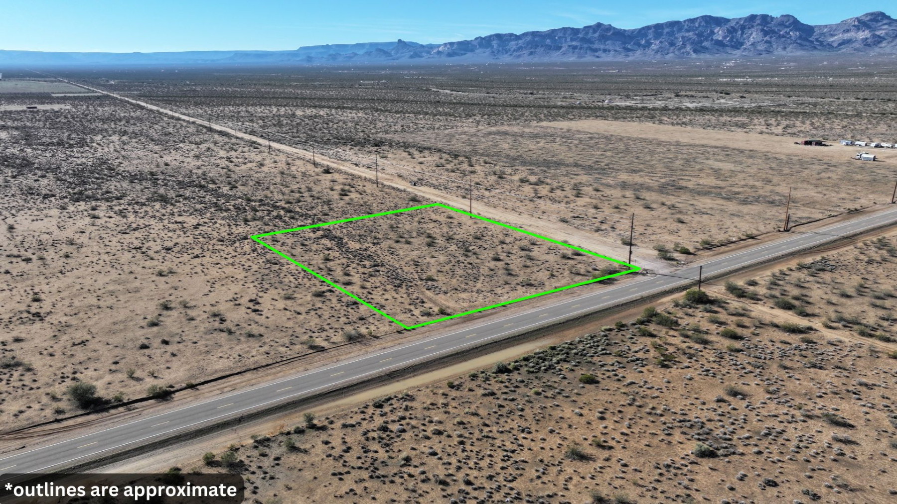
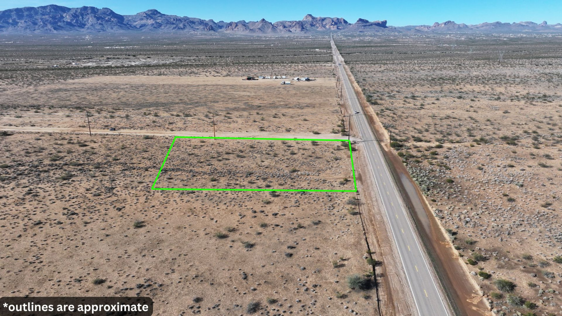
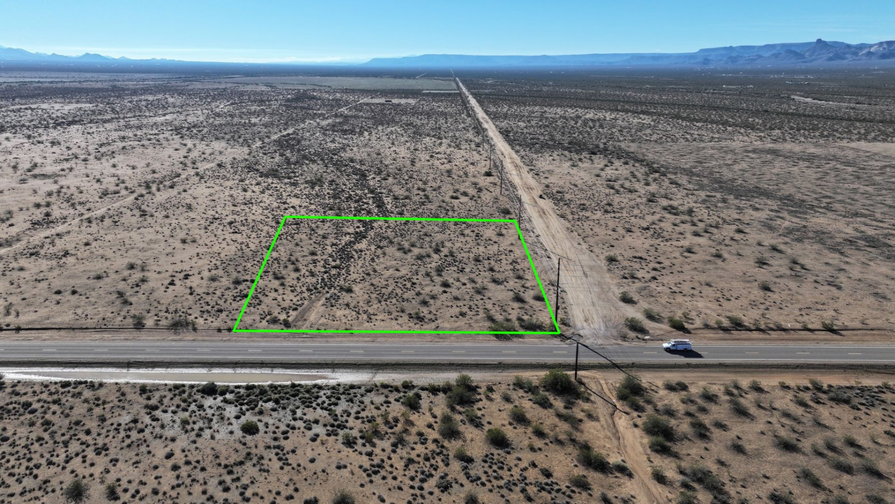
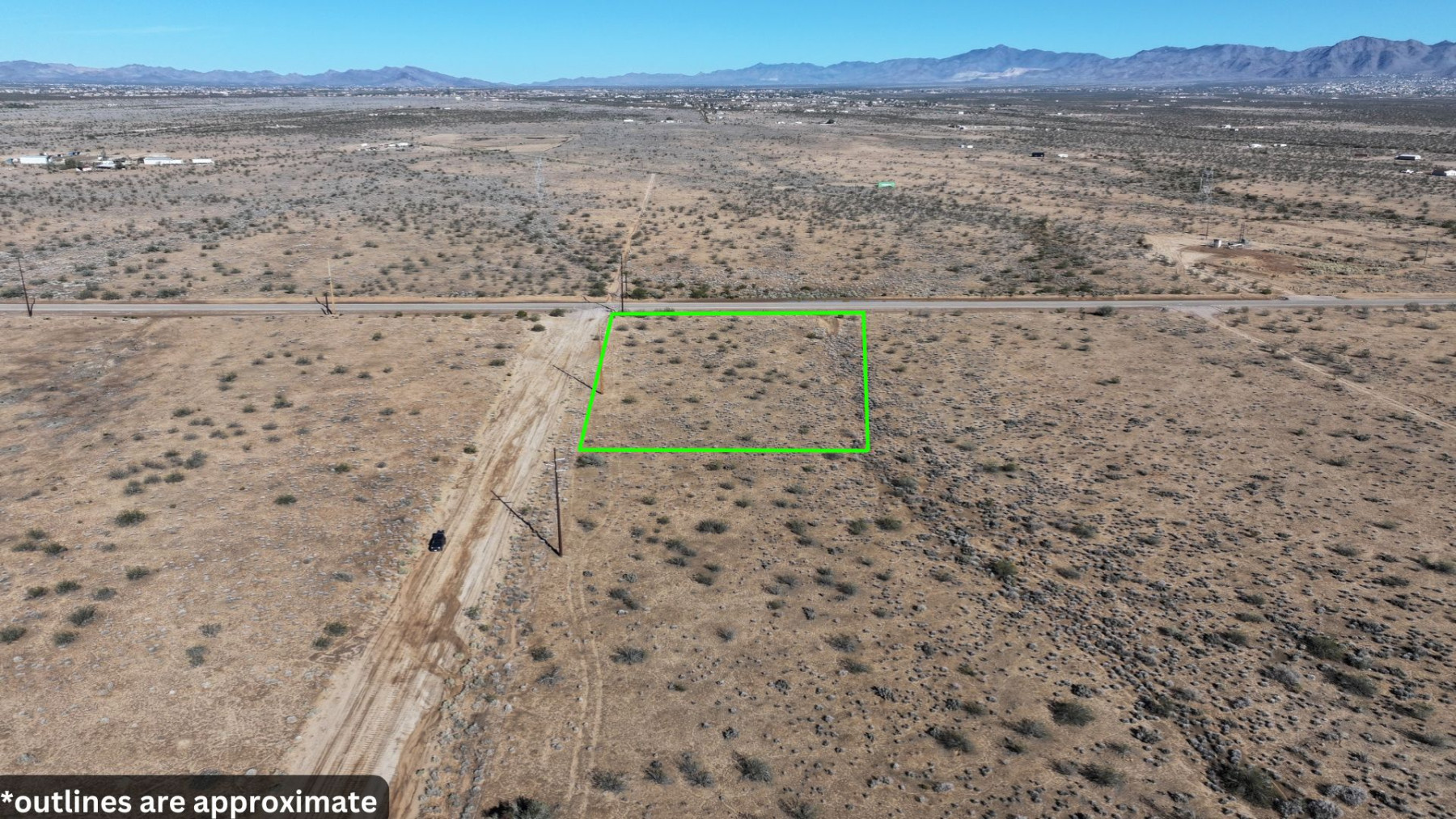
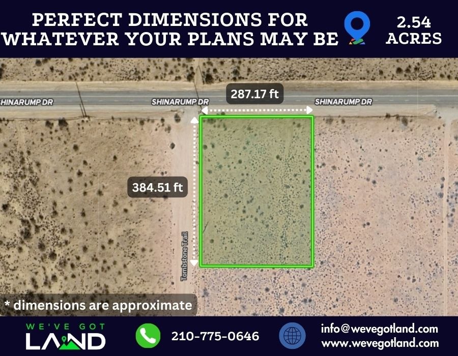
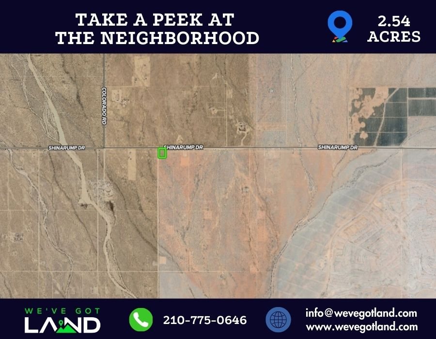
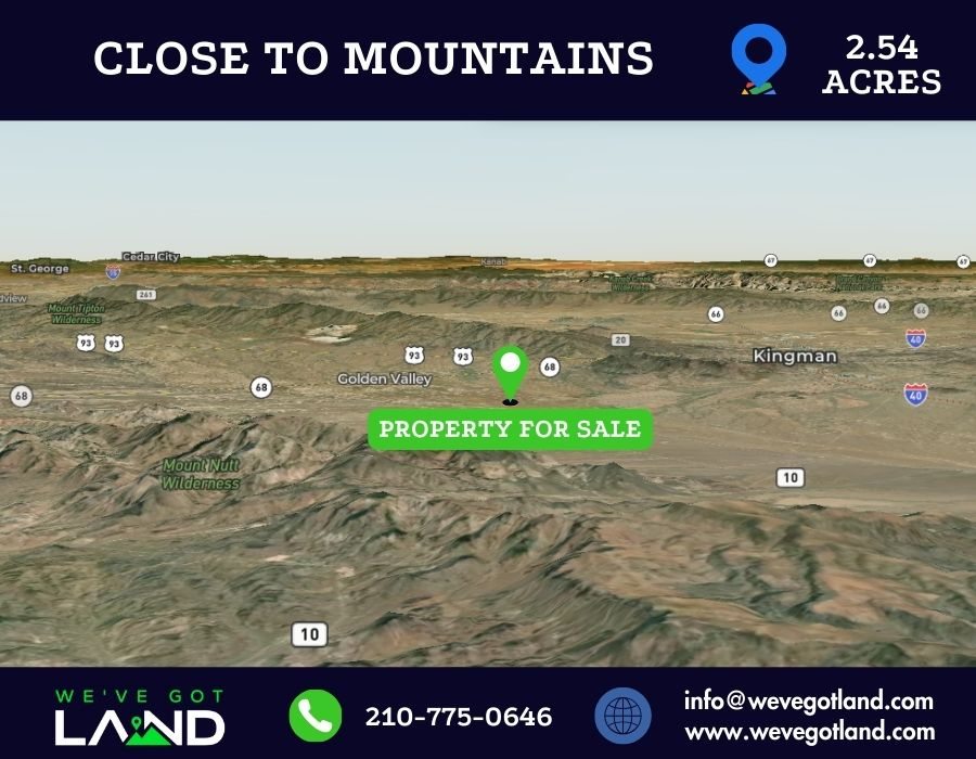
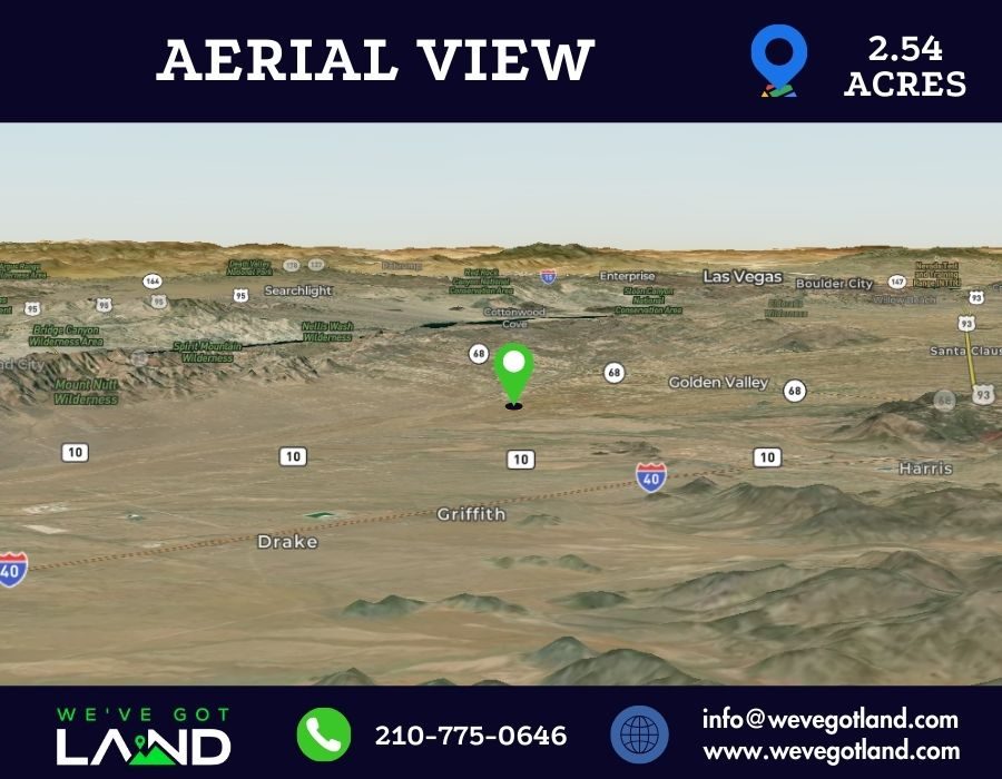
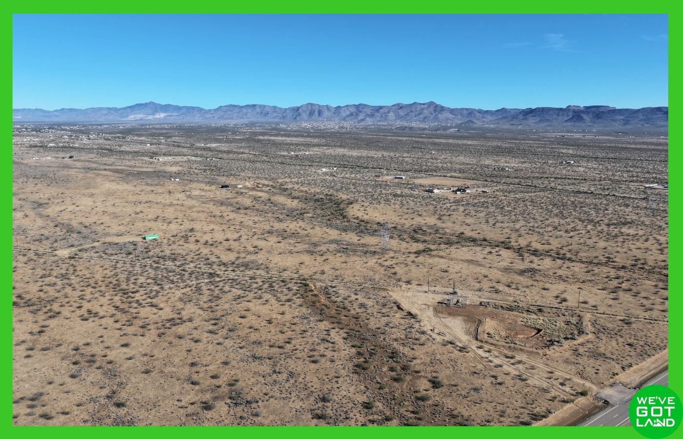
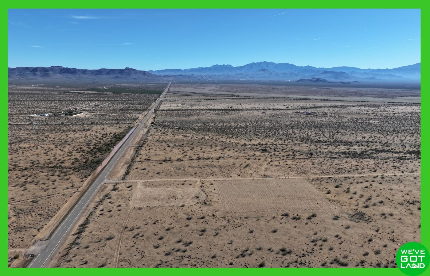
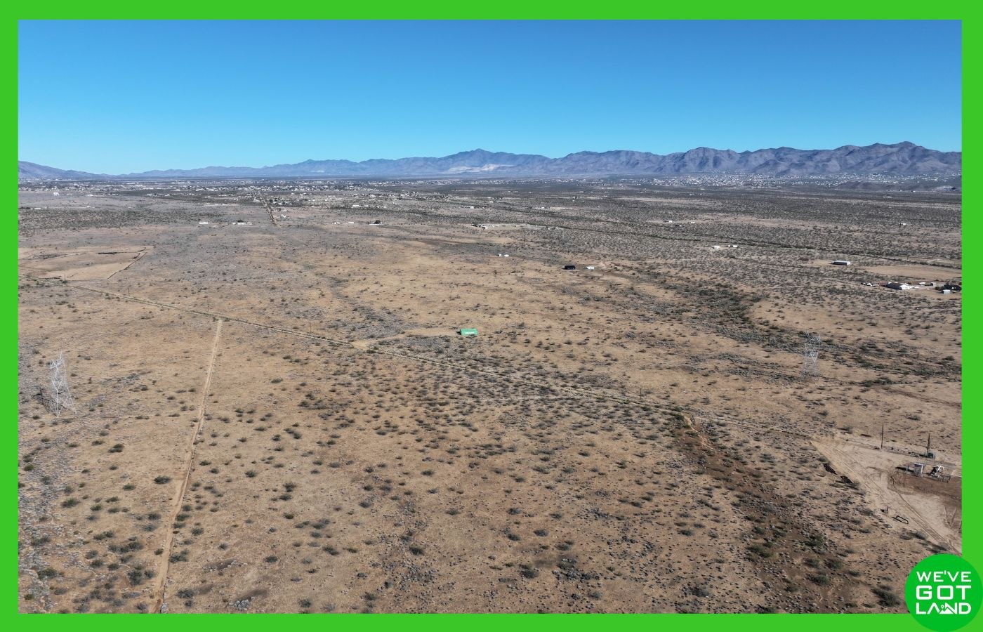
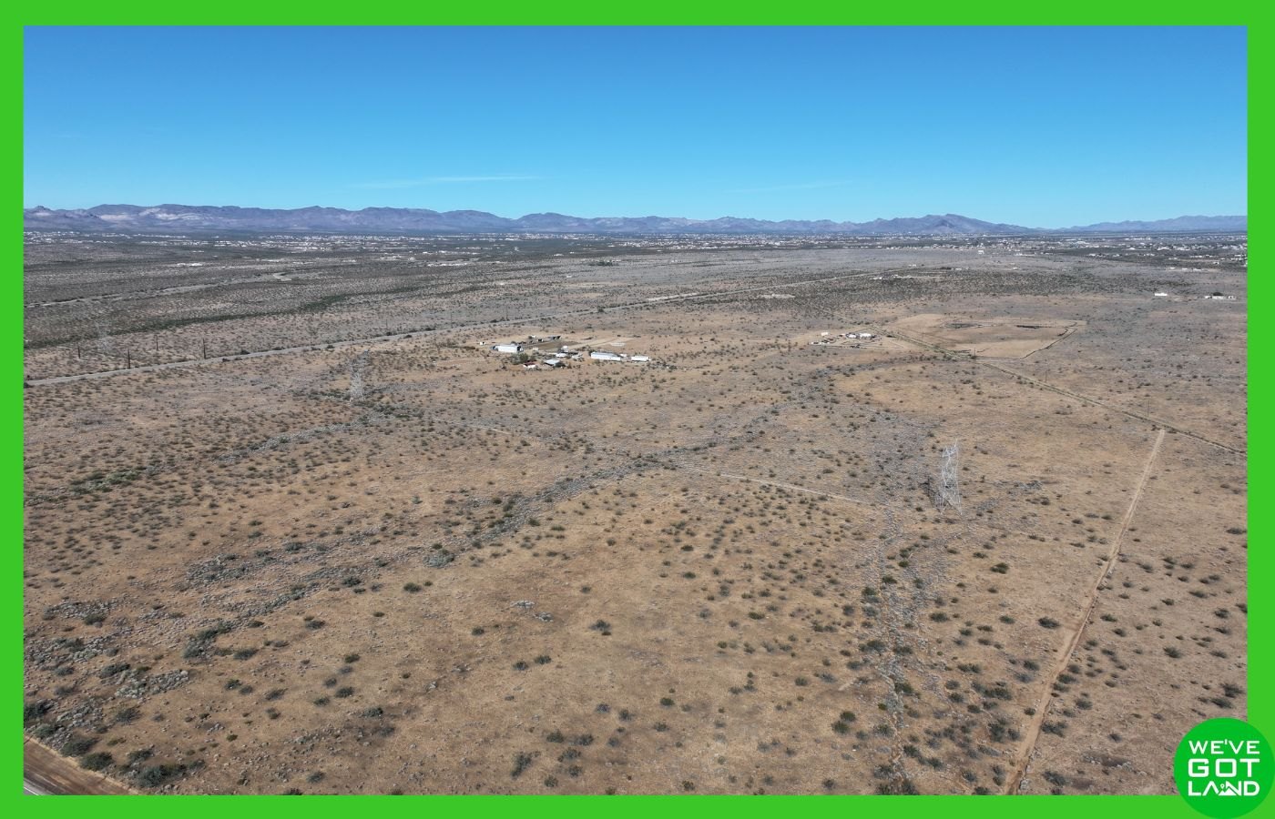
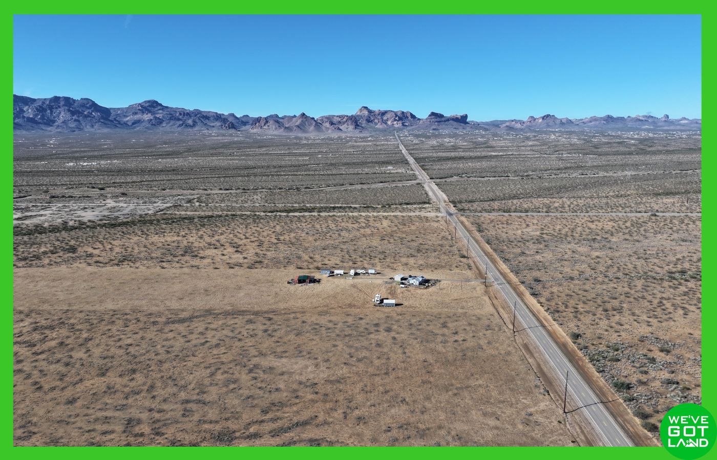
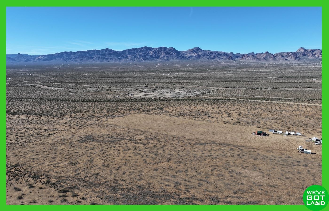
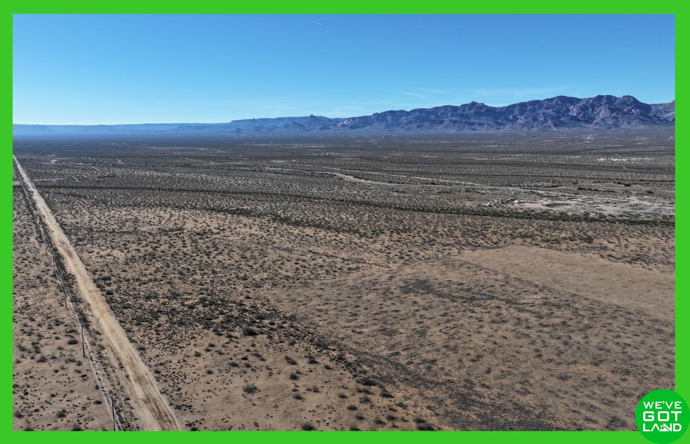
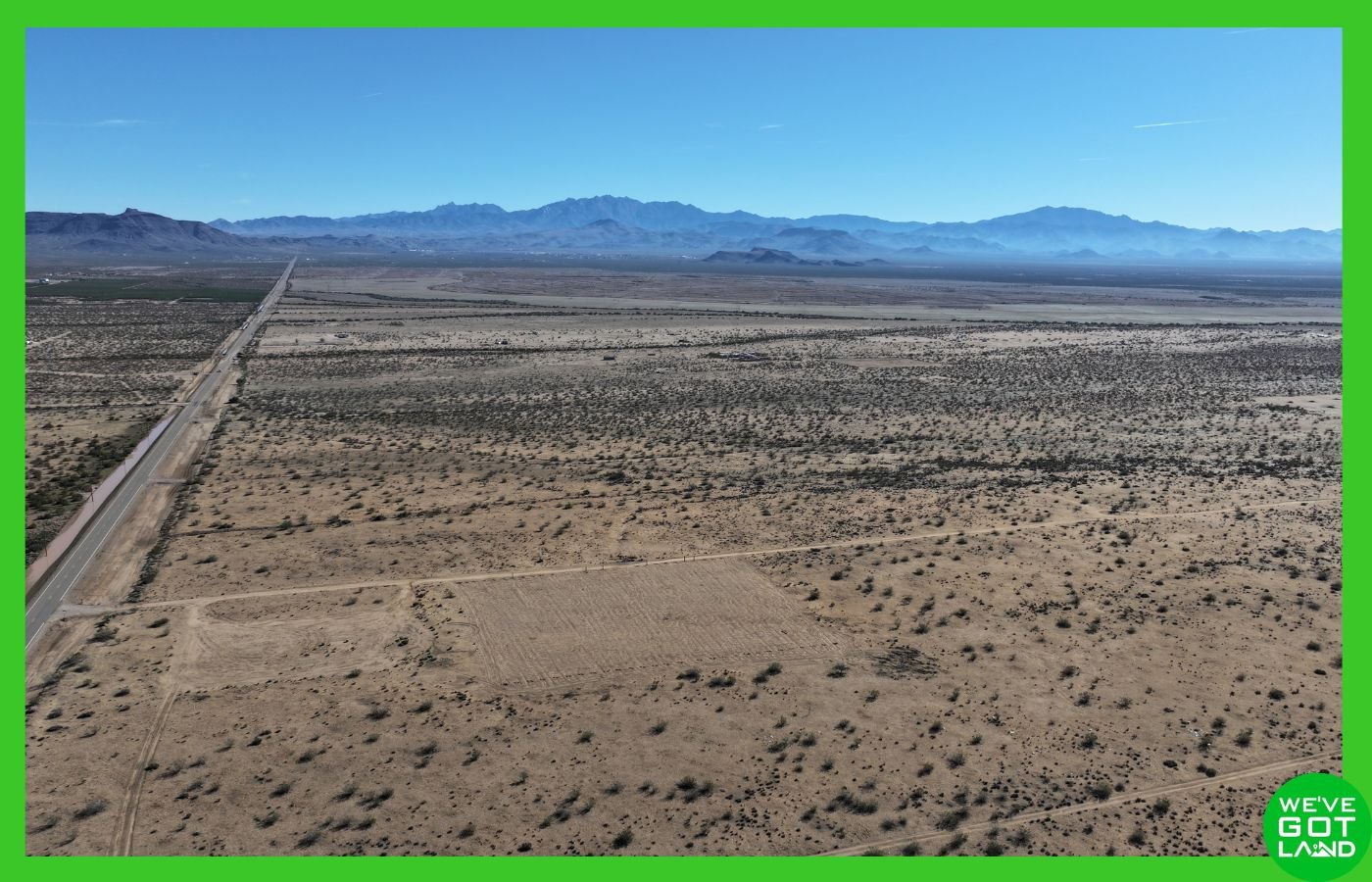
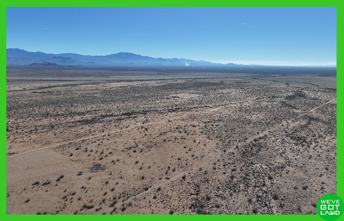
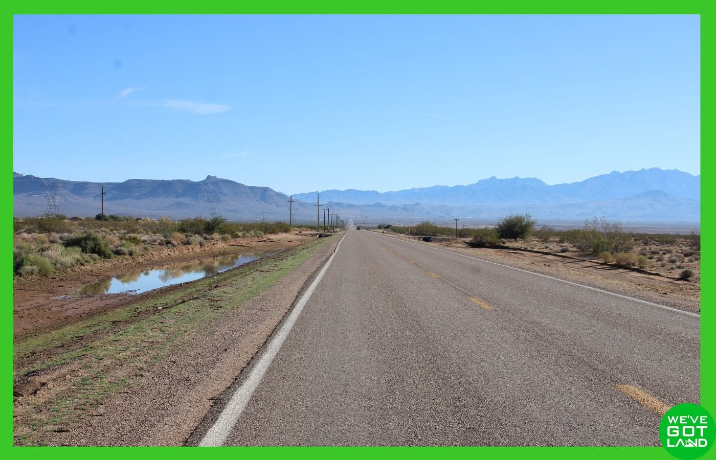
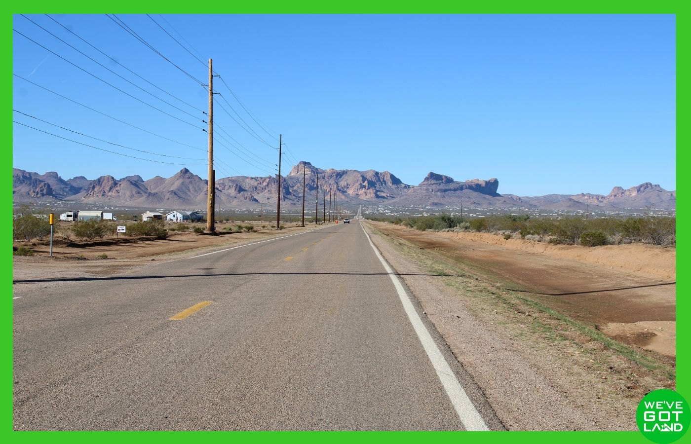
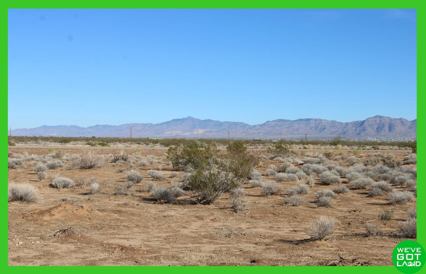
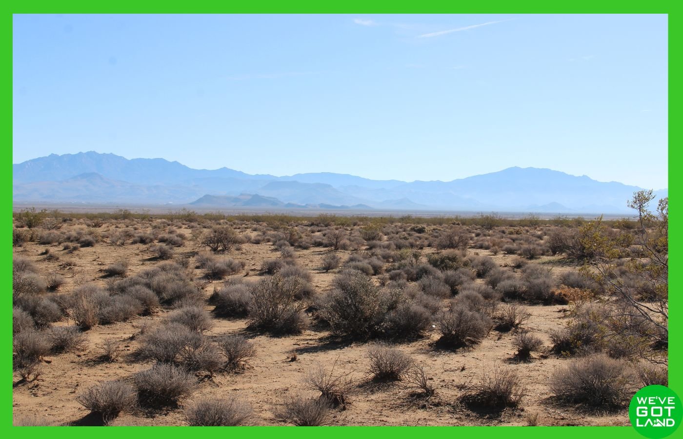
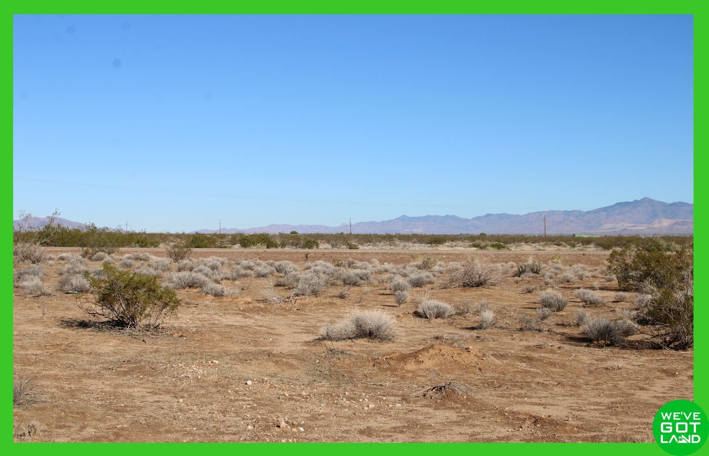
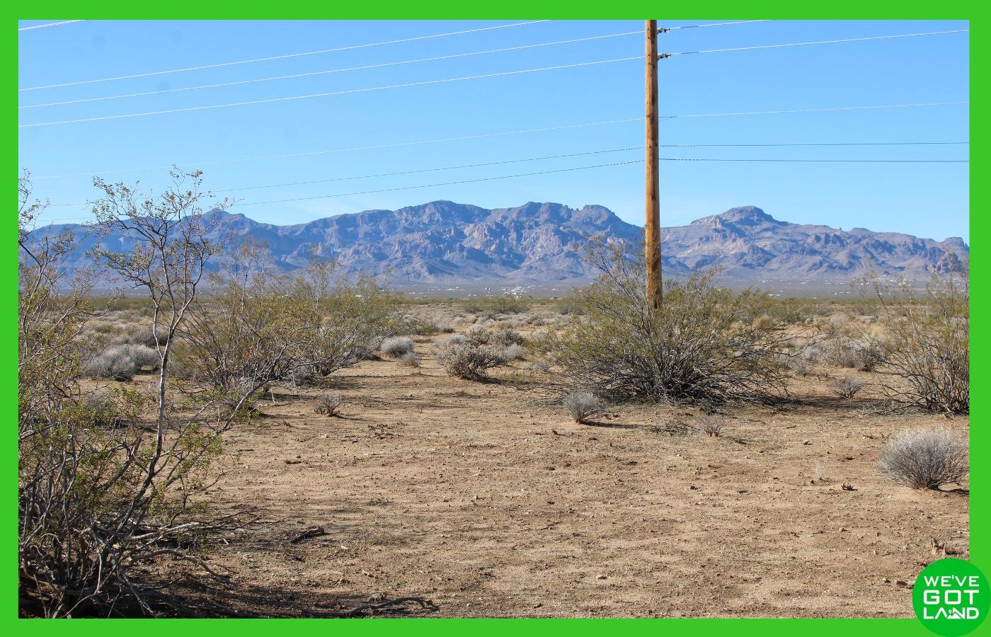
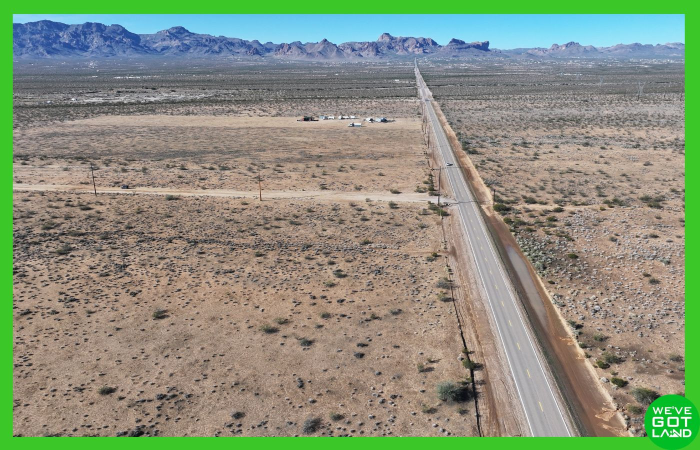
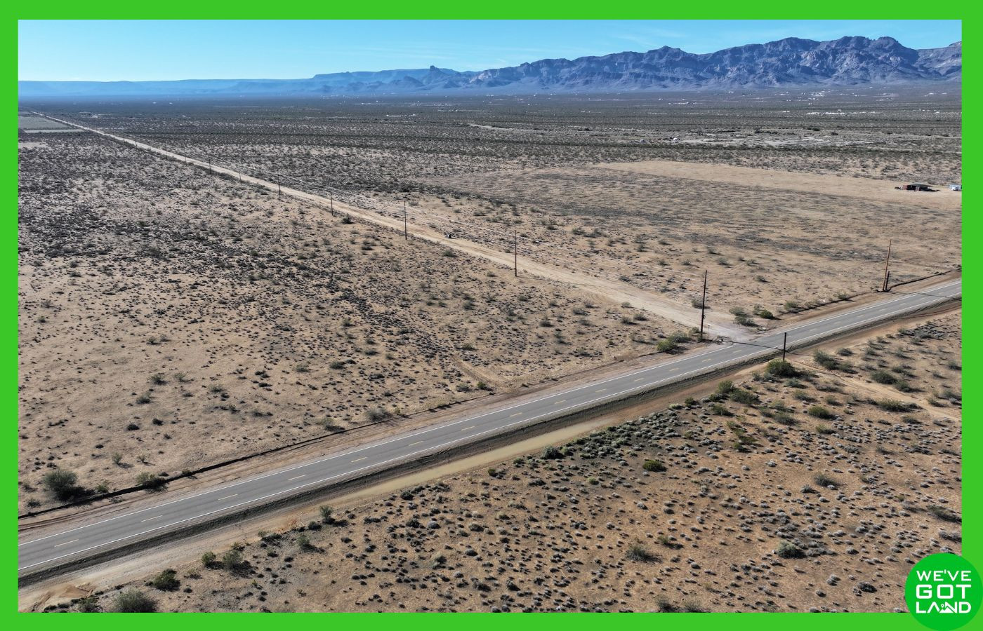
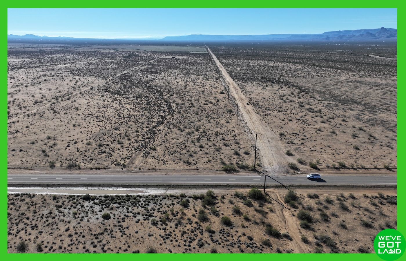
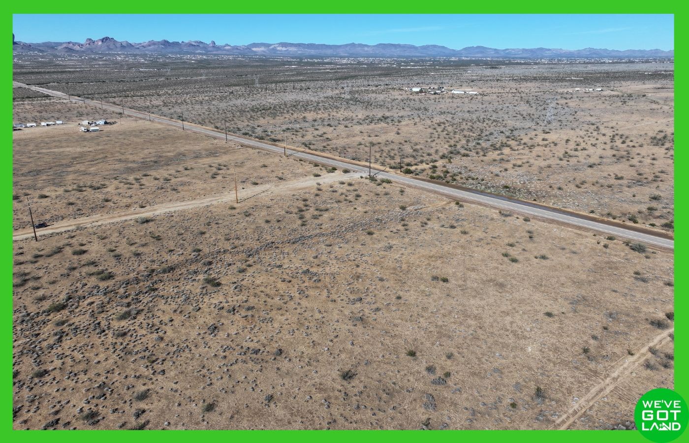
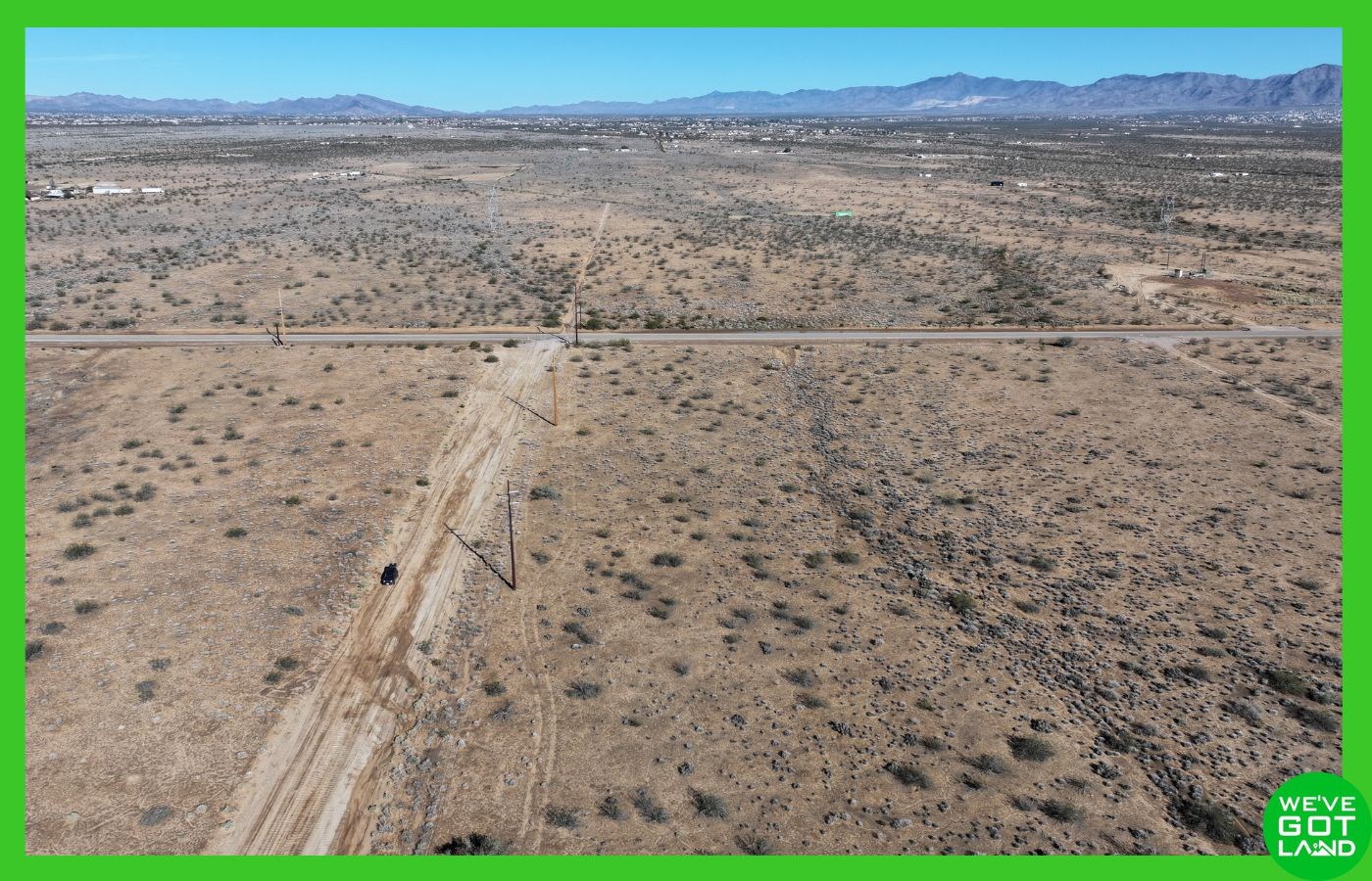
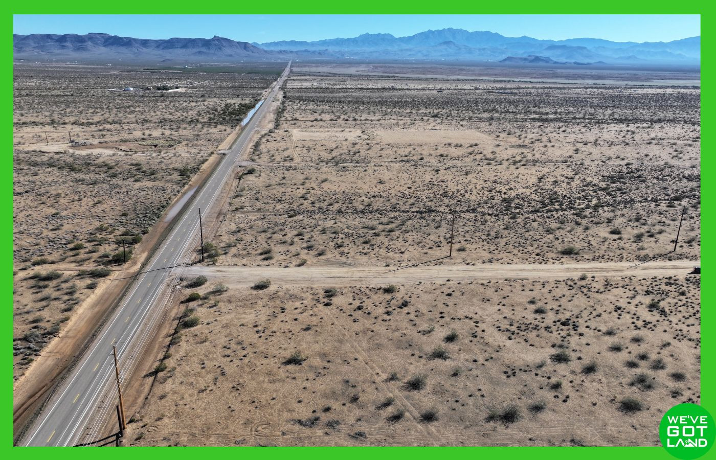
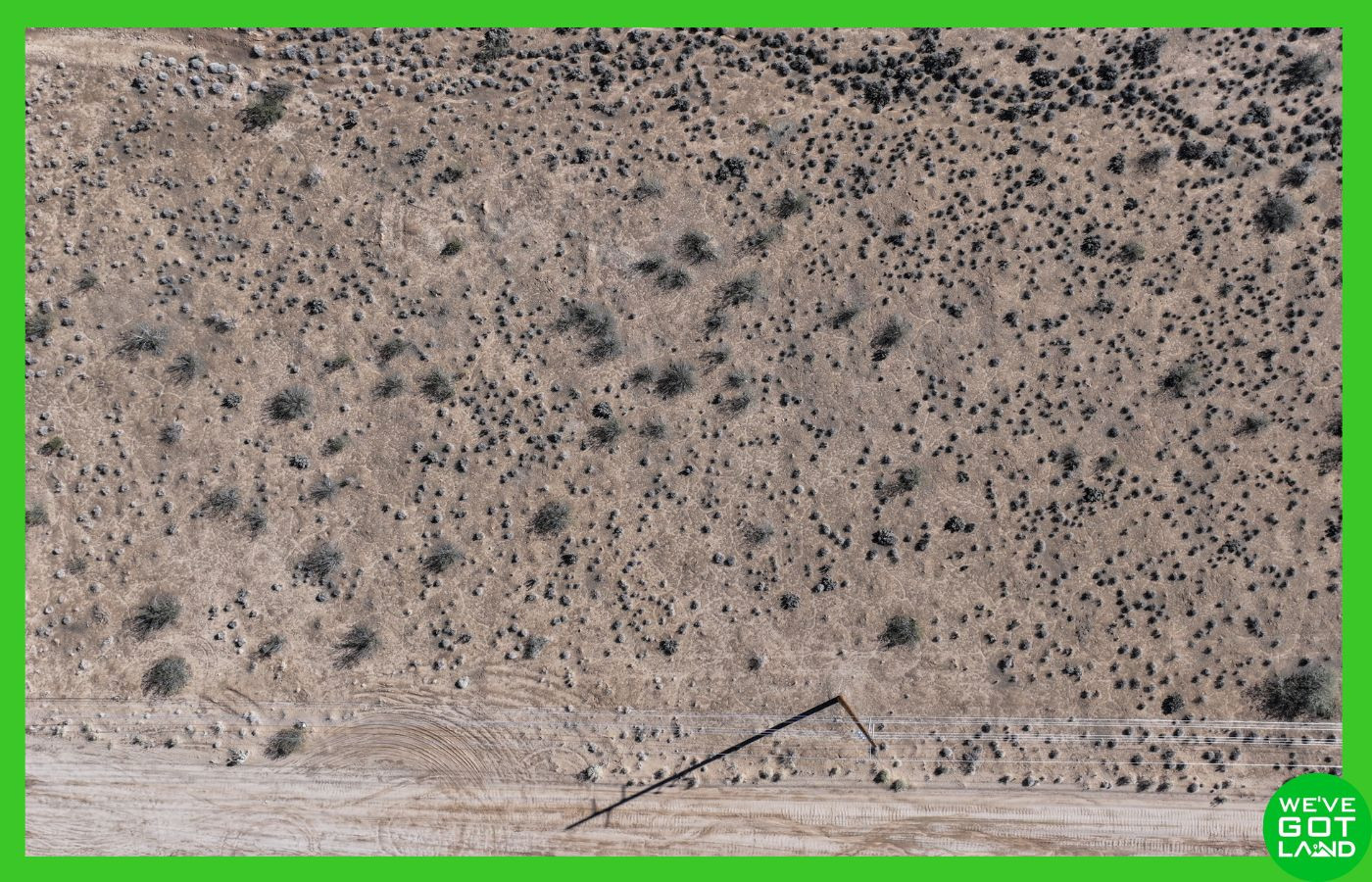
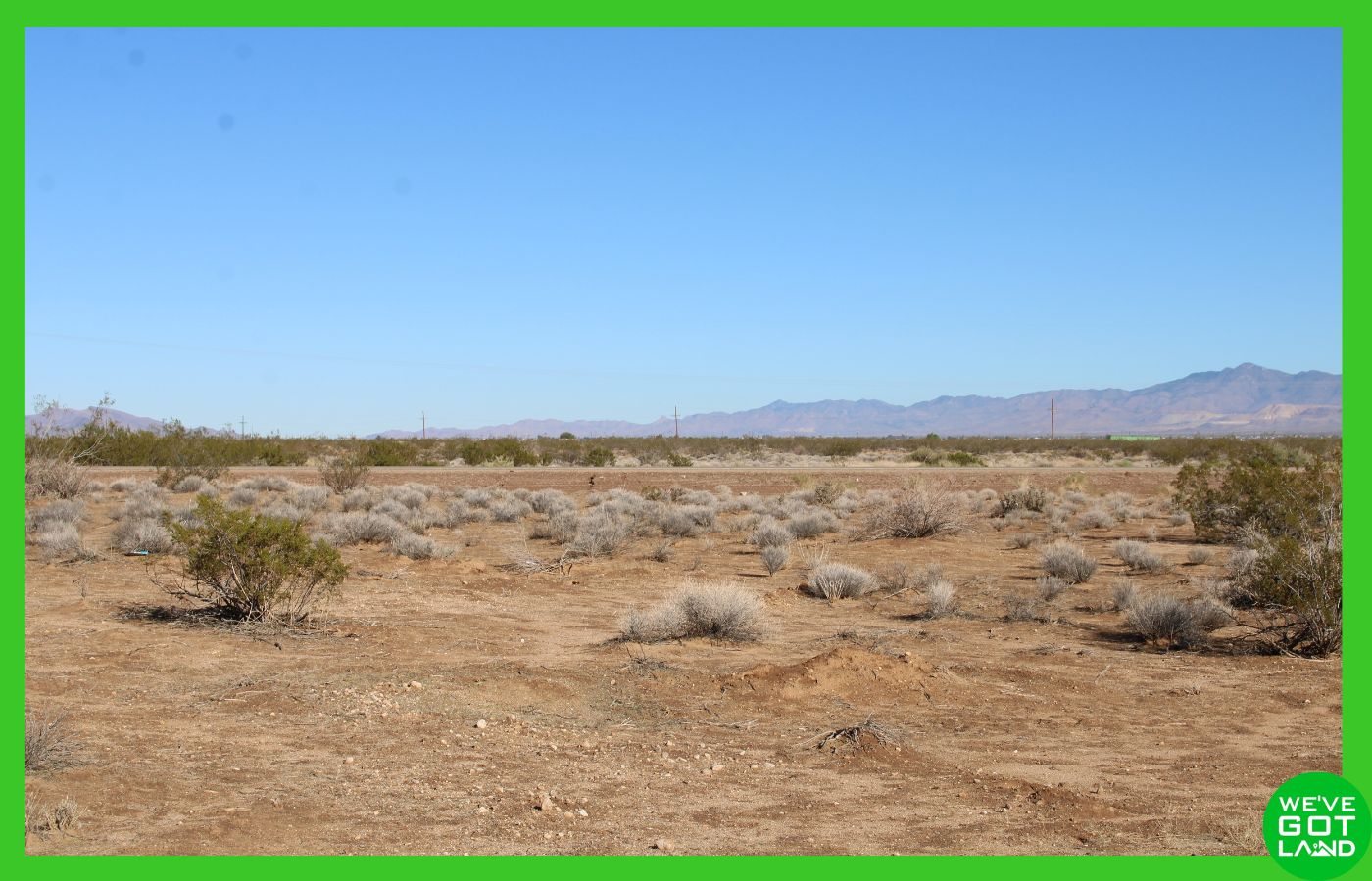
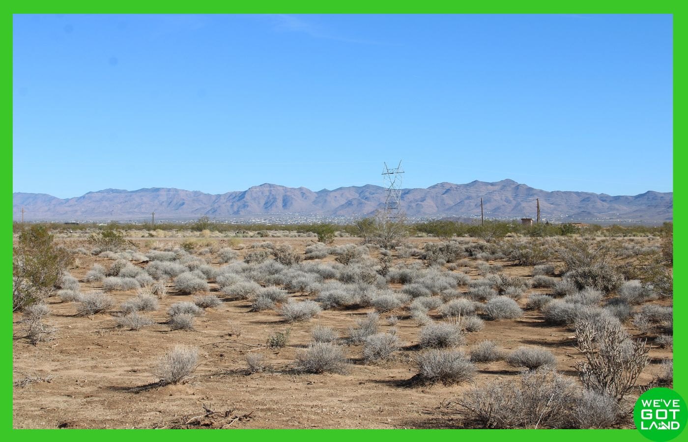
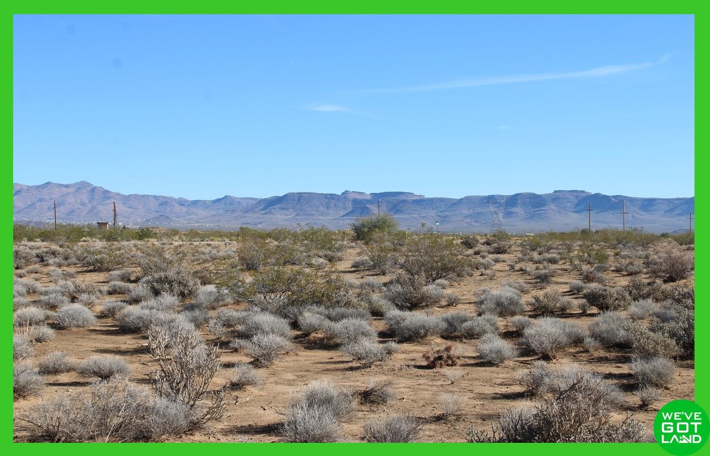
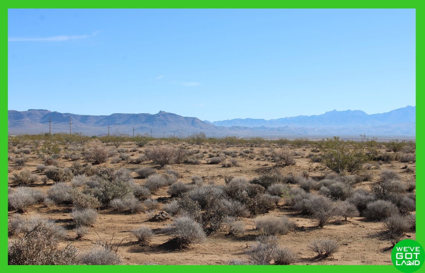
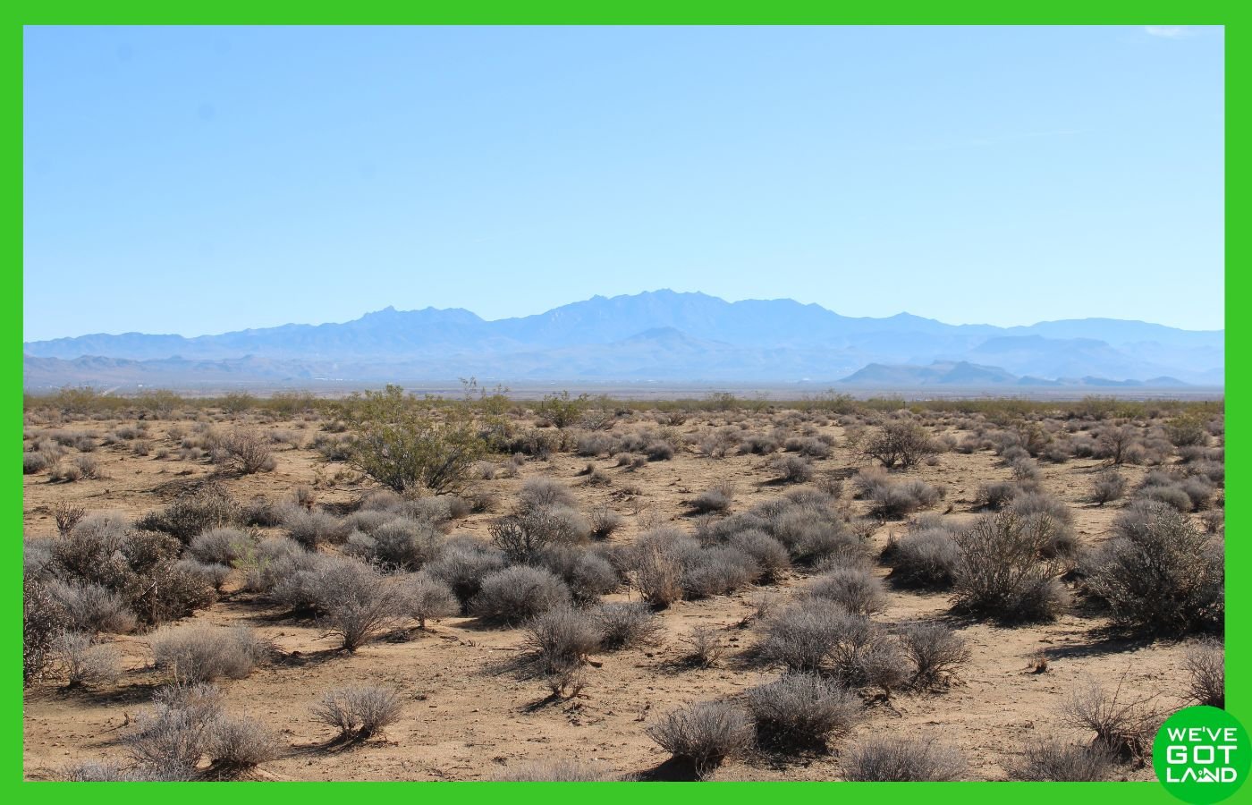
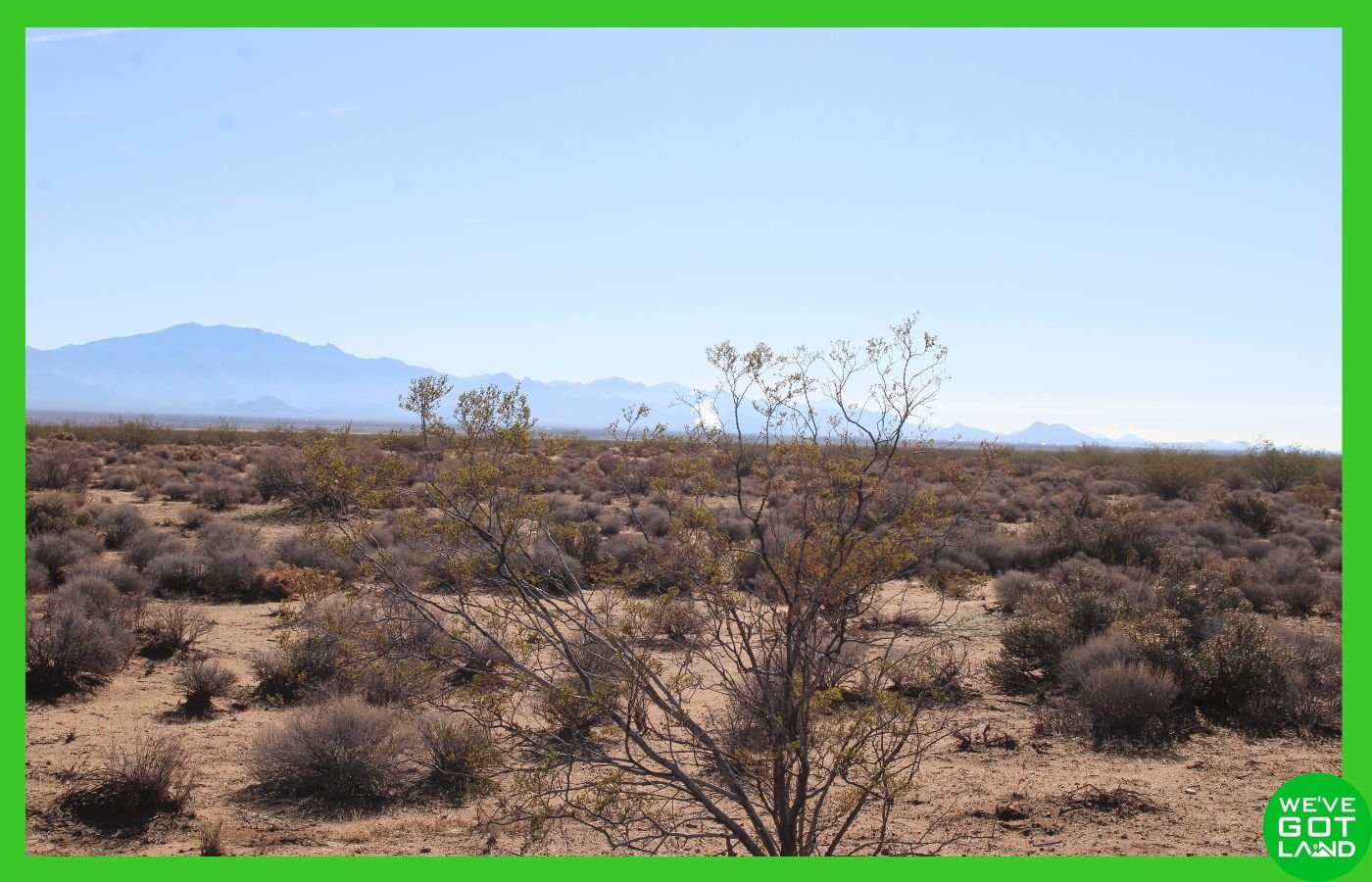
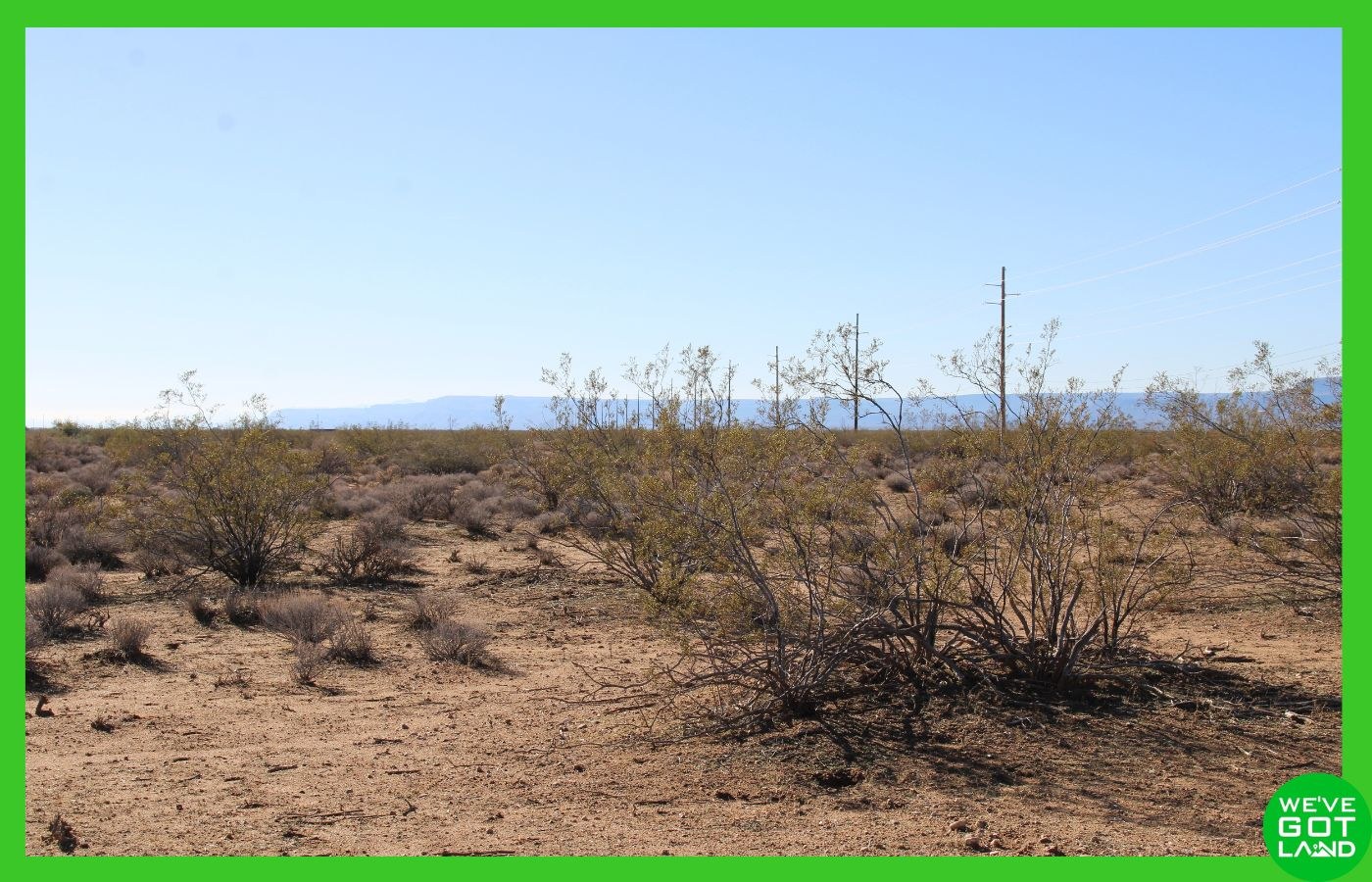
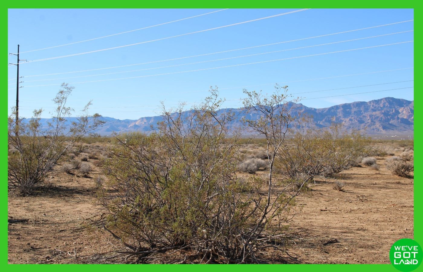
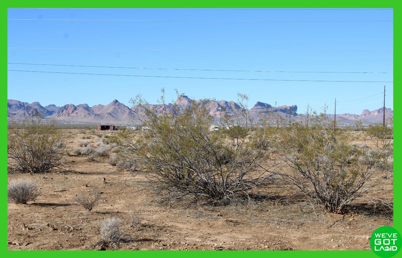
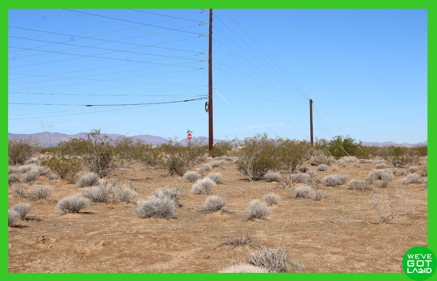
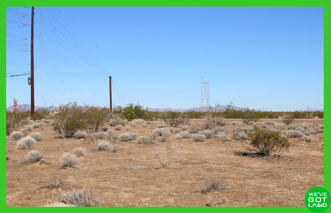
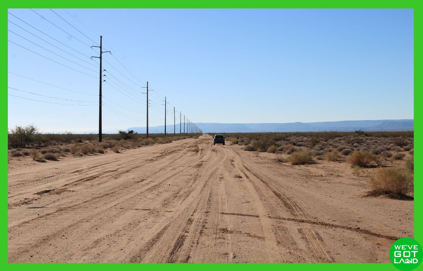
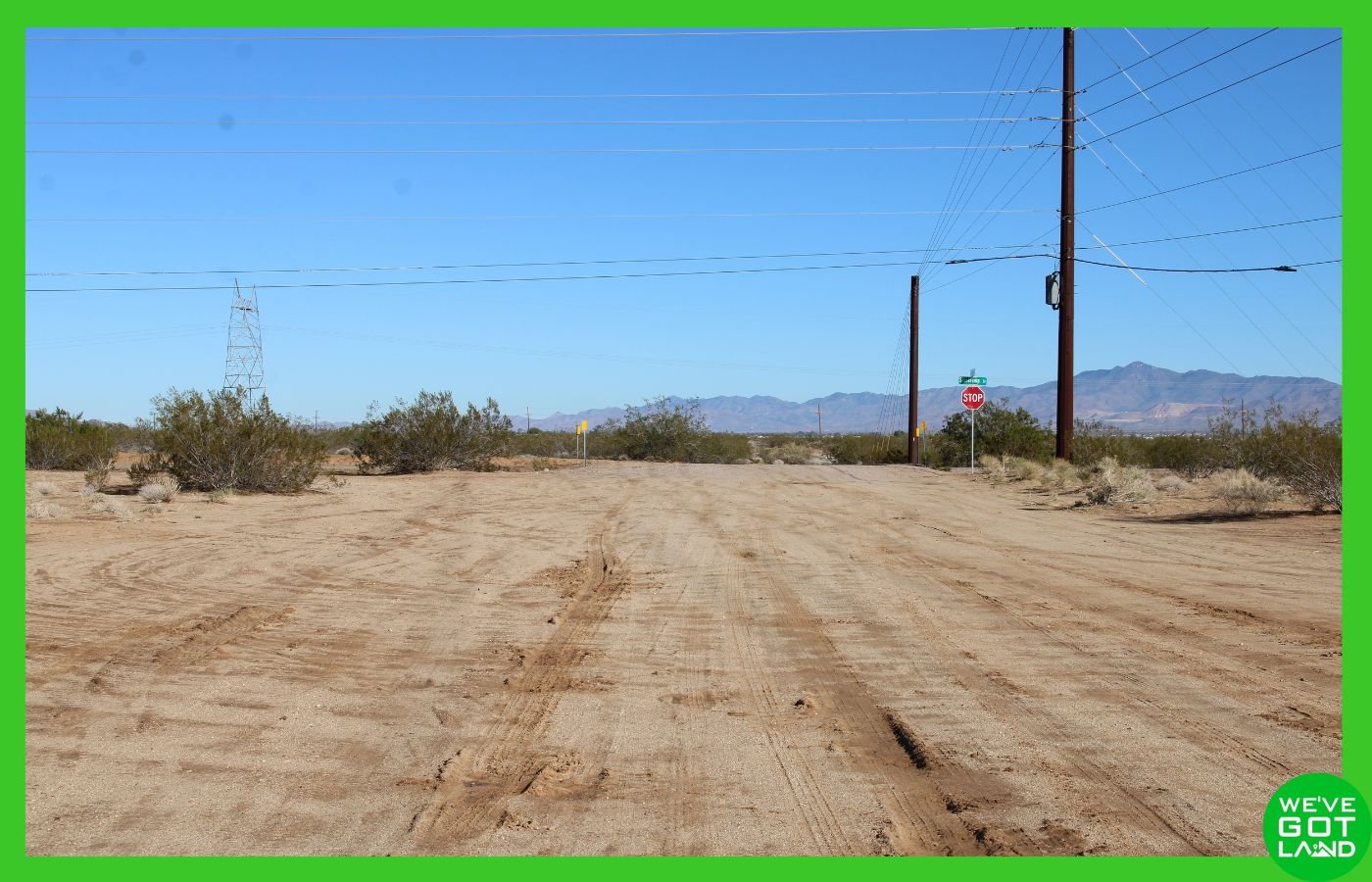
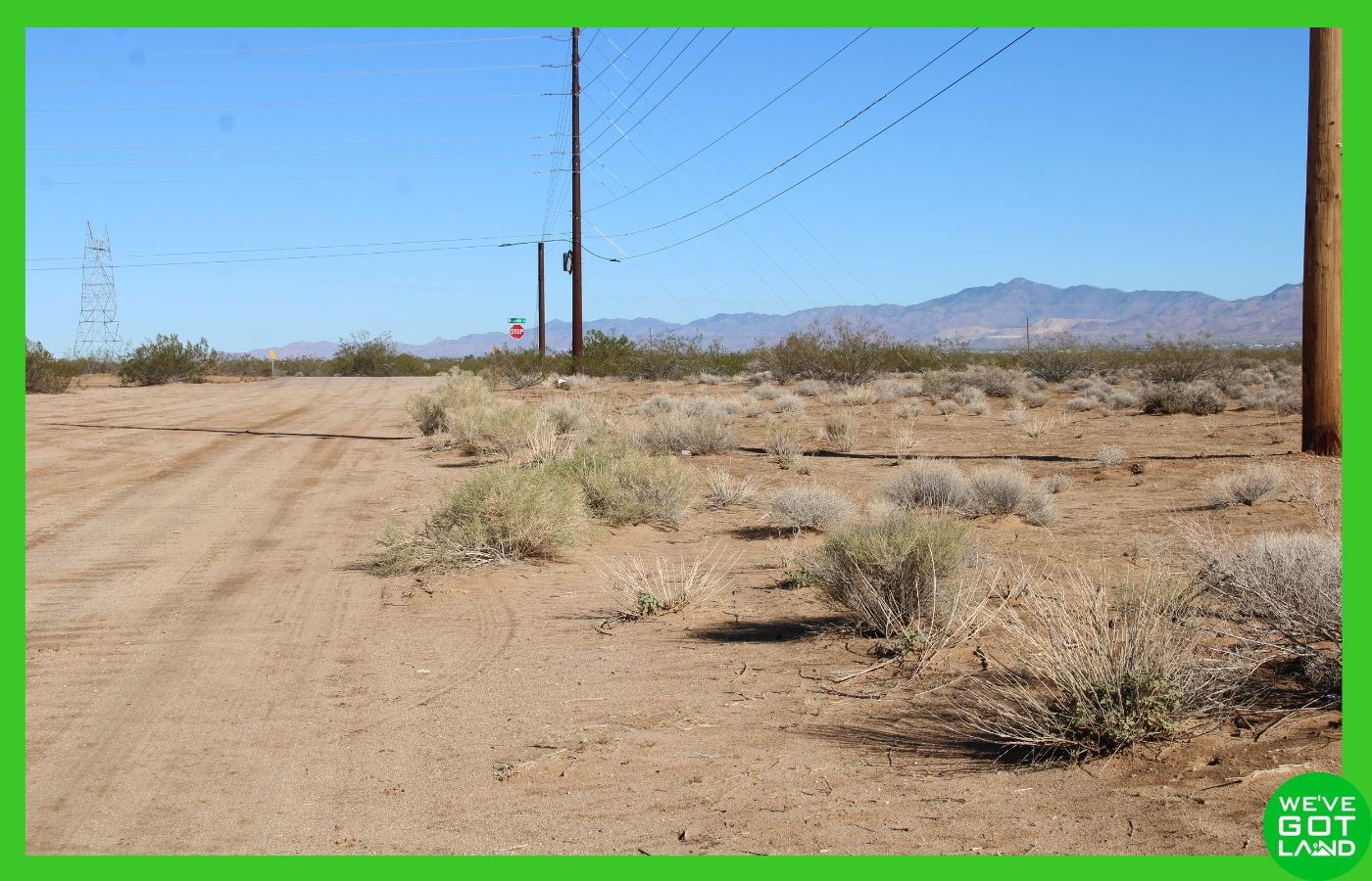
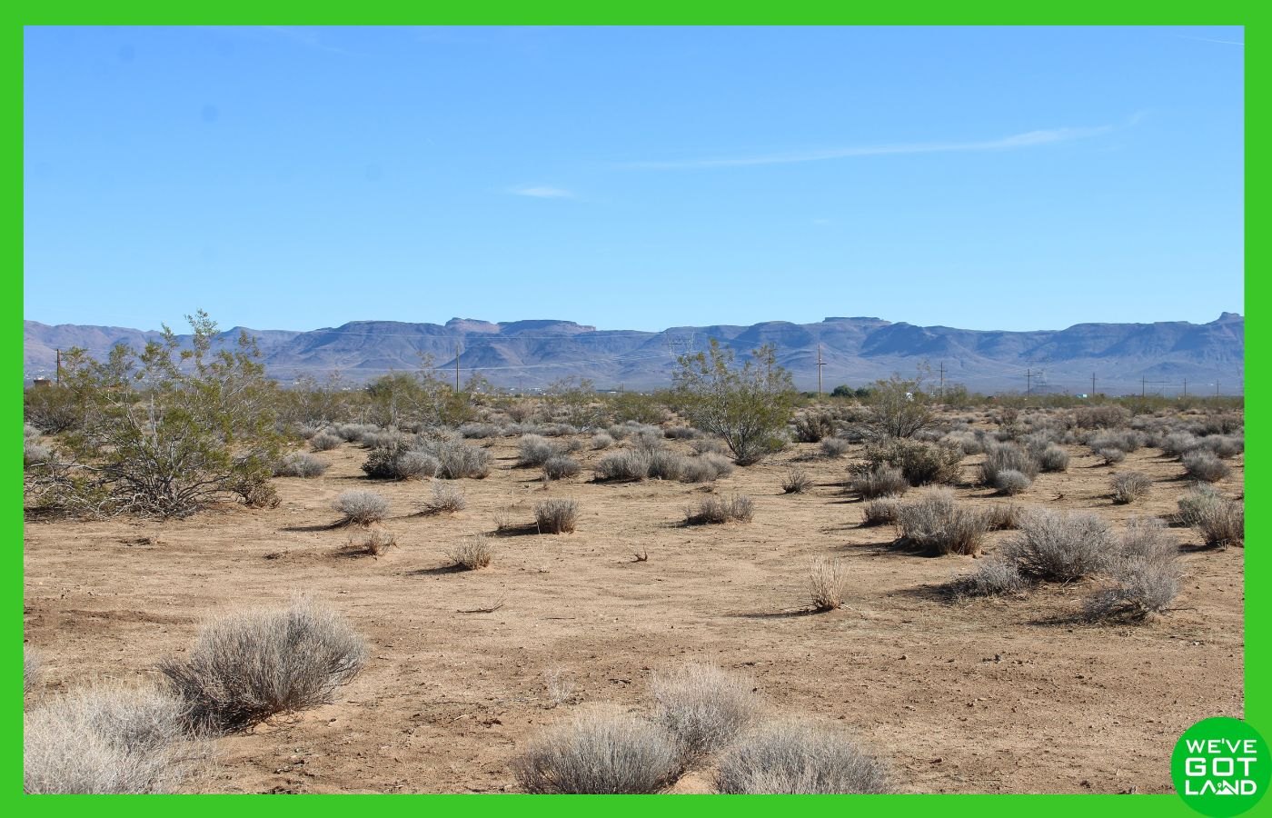
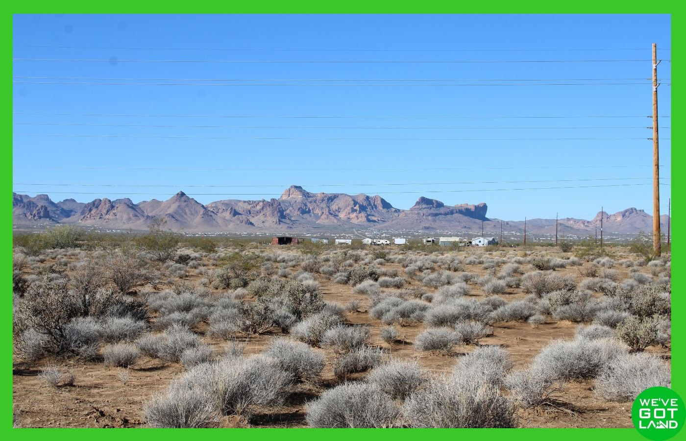
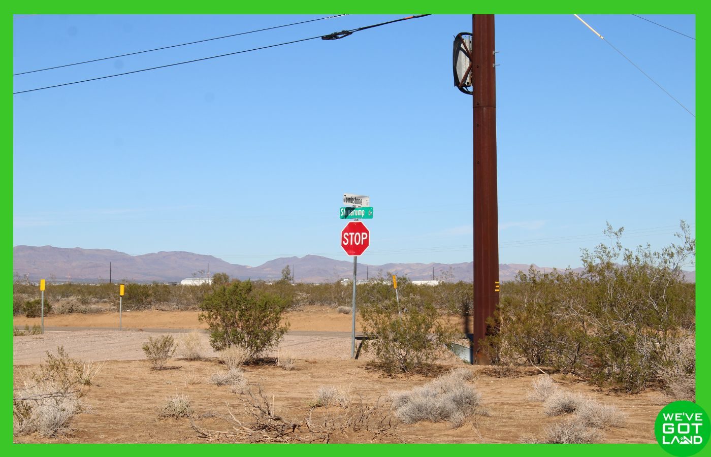
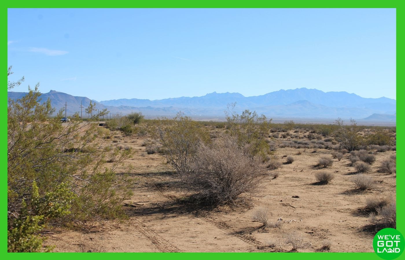
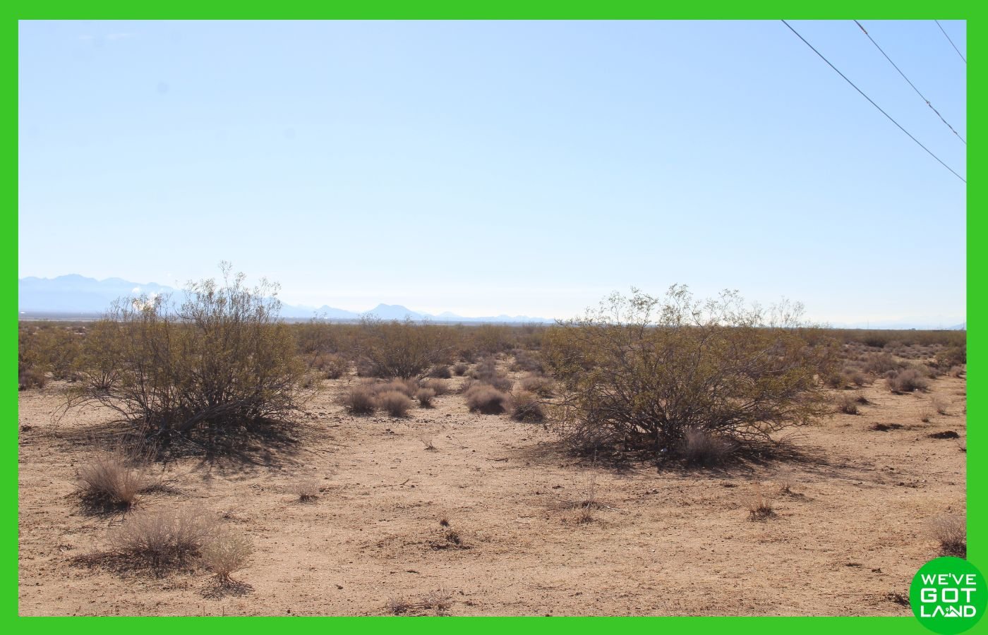
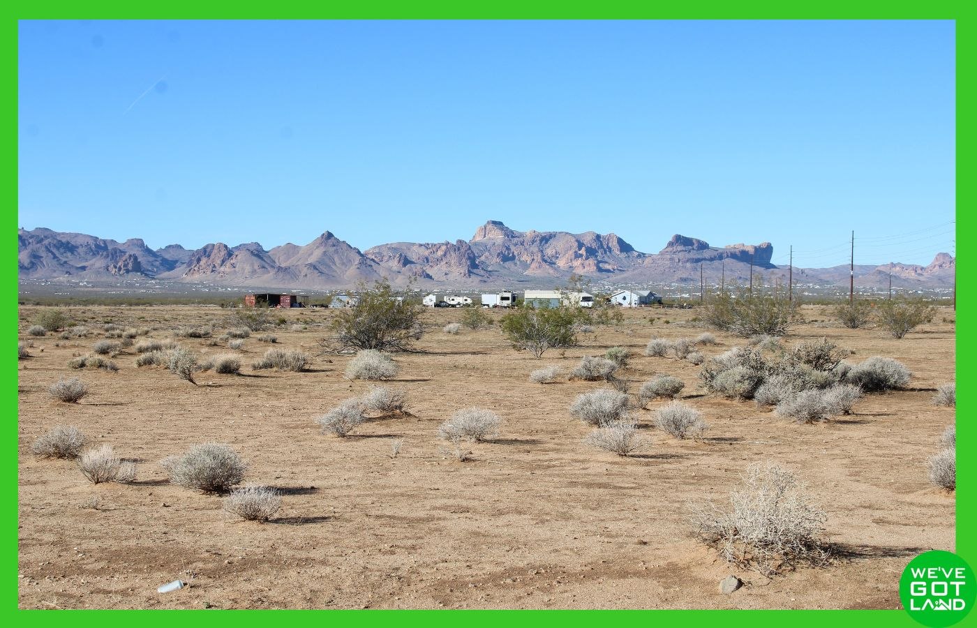
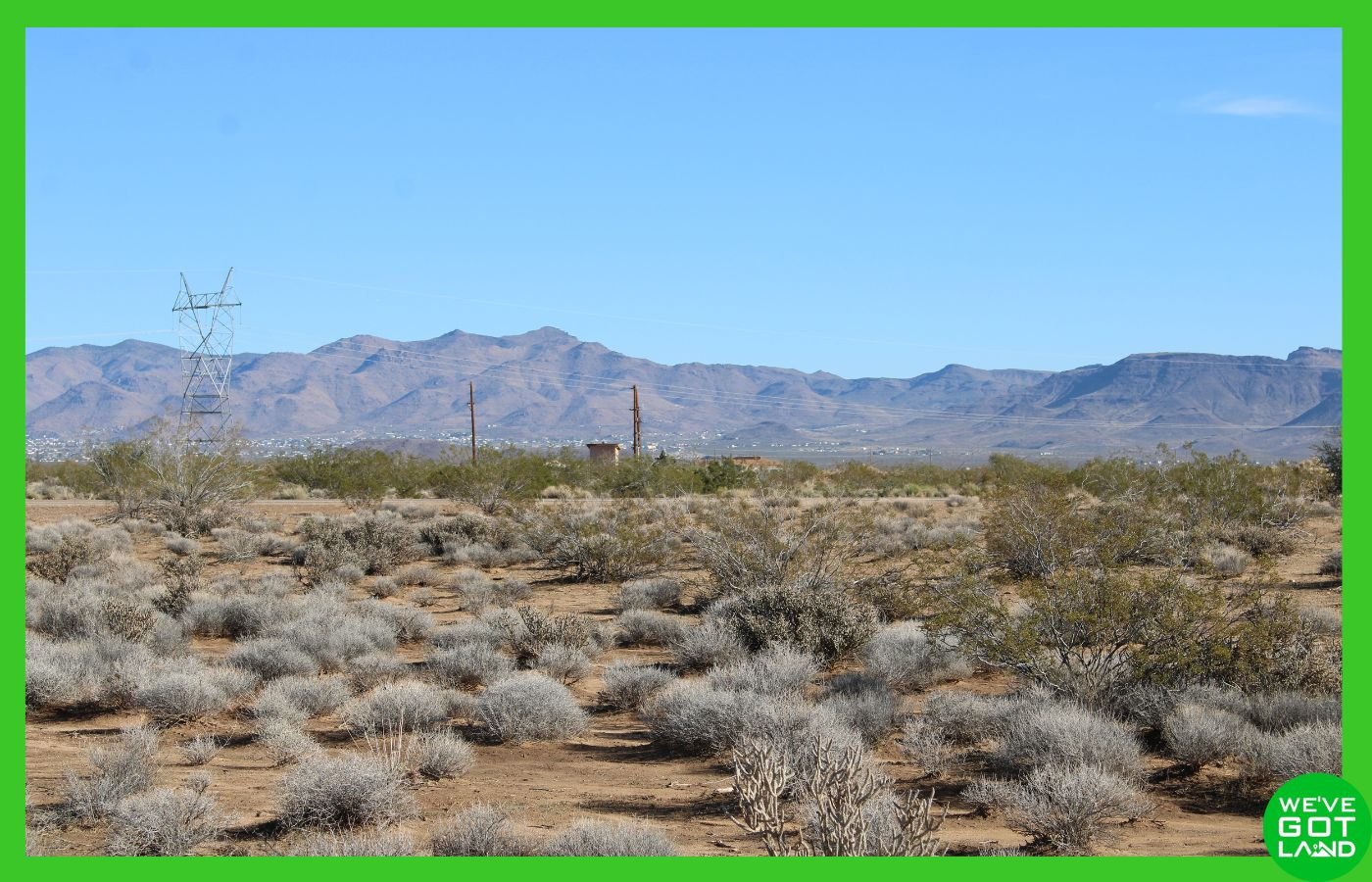
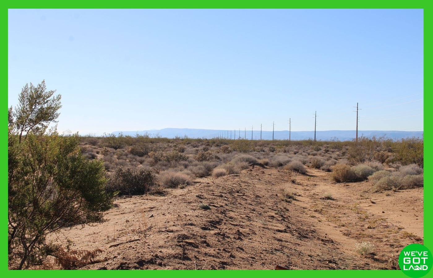

Click to browse images above!
This 2.54 acre parcel in Golden Valley offers a practical setup for residential use with two points of access and county maintained roads in a growing area of Mohave County.
Positioned along paved Shinarump Dr with additional frontage on Tombstone Trail, the property provides straightforward, easy access while keeping space between neighbors and surrounding parcels. The land sits outside city limits and within Agricultural Residential zoning, giving buyers options for housing types while avoiding city level regulations and timelines.
With low annual taxes and no time limit to build, this parcel supports long term planning while remaining close to everyday services in Kingman.
📍 Property Overview
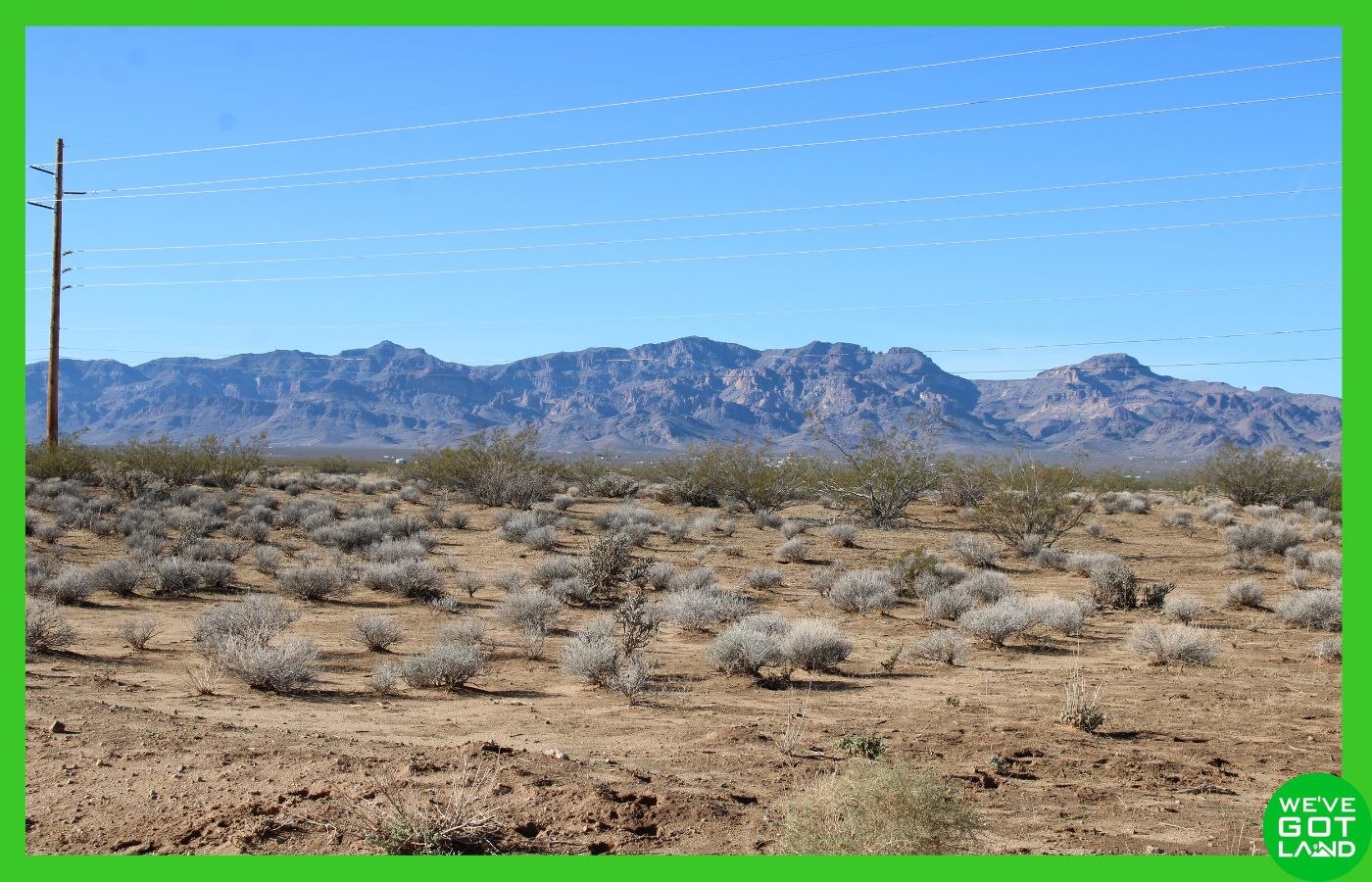
Located in Golden Valley Ranchos – Unit 10, this 2.54 acre lot is approximately 13 miles from the center of Kingman and about 6.5 miles from central Golden Valley. The property is within the Kingman Unified School District and sits at approximately ~2,520 feet in elevation. The terrain is desert land with wide open surroundings and endless skies.
⭐ Key Features
- 📐 Lot Size: 2.54 acres (Plat available HERE!)
- 🛣️ Access: Dual road frontage with paved Shinarump Dr and the wide dirt road, Tombstone Trail
- ⚡ Electric: Available nearby through Mohave Electric Cooperative – overhead lines on roughly the western boundary line
- 💧 Water: A well will need to be installed, or you can haul water
- 🚽 Sewer: Septic system will need to be installed
- 🏠 Zoning: Agricultural Residential AR – See Land Uses here!
- ⏳ Time to Build: No time limit to build
- 🚐 RV Use: Allowed per county guidelines
- 🏕️ Camping: Allowed with county limits
- 🏡 Housing Options: Site built homes, HUD manufactured homes, and code compliant tiny homes, and more. See Land Uses here!
- 🌊 Flood Zone: Not in a flood zone per FEMA and Mohave County. Unshaded Zone X
- 💰 Taxes: Approximately $45.56 annually
- 📍 Location: Outside city limits in Mohave County
🏜️ What Should I Know?
This parcel offers two distinct access frontages that make day to day use and future planning easier. Shinarump Dr is a paved, county maintained road that provides reliable year round access, while Tombstone Trail adds flexibility for layout and entry options. The lot measures roughly ~285 feet by ~380 feet, offering usable space across the parcel.
Zoned Agricultural Residential, the property allows a range of residential uses including single family homes, HUD compliant manufactured homes built after June 1976, and tiny homes that meet the 2018 International Residential Code. RV use and camping are allowed under county rules, making the land usable while planning or during permitted stays.
Utilities are typical for the area. A well and septic system would be required, and electric service is available nearby through Mohave Electric Cooperative. Propane service options are available locally, and waste services are accessible through county providers. The parcel is outside city limits, which reduces regulation while still remaining close to services.
Daily essentials are within reach. Amenities in Golden Valley are about 10 minutes away, and Kingman provides grocery stores, medical facilities, schools, and employment options within a 20 minute drive.
🌵 Why Mohave County and Arizona
Mohave County is known for wide open land, practical zoning, and access to outdoor recreation. The area supports a rural lifestyle while still being connected to Kingman, Lake Mead, and historic Route 66.
Arizona offers predictable weather, straightforward property ownership, and counties that support private land use. Golden Valley sits between Kingman and the Colorado River region, giving owners access to desert recreation, regional travel routes, and nearby services without city congestion.
✅ Ideal For
- 🏠 Buyers planning a single family or manufactured home
- 🚐 Owners needing RV friendly zoning with county guidelines
- 🌵 Those seeking county land near Kingman with paved access
- 🧭 Buyers wanting flexibility without a build deadline
🔑 No HOA. Low annual taxes. Easy access.
Reach out today to learn more about flexible owner financing, cash purchase, and other options and secure your Golden Valley acreage in Mohave County. Call us, and find out how you can make this property yours!
By proceeding with a purchase, buyers acknowledge full responsibility for verifying all information and assume all risks associated with the property. The seller shall not be liable for any inaccuracies or the buyer’s failure to conduct proper due diligence.
Driving Directions
Starting in Kingman, AZ 86409 at the intersection of E Beale St and N 4th St, head south on N 4th St toward E Andy Devine Ave/Historic Rte 66 for 354 feet. Turn right onto E Andy Devine Ave/Historic Rte 66 for 0.4 miles, then bear slight right onto W Andy Devine Ave for 299 feet. Turn left onto W Beale St for 0.4 miles, then turn left to merge onto I-40 W toward Los Angeles for 4.2 miles. Take exit 44 toward Historic Rte 66, then turn right onto Historic Rte 66 for 0.3 miles. Continue straight onto Shinarump Dr for 0.6 miles, then merge onto Prescription Rd for 1.8 miles. Continue onto Shinarump Dr for 4.9 miles, then turn left onto Tombstone Trail. The 2.54-acre property on Tombstone Trail, Golden Valley, AZ 86413 will be on your left.
Total distance: 13.2 miles, approximately 17 minutes.
GPS Coordinates (approx. center)
Paste this into your map app:
35.1557, -114.2276
Property Information
Parcel Size
2.54 acres
State
Arizona
County
Mohave County
Nearest Cities
Kingman, AZ – Laughlin, NV – Lake Havasu City, AZ – Las Vegas/Henderson, NV
Parcel #
215-03-124
Address
0 Tombstone Trail Lot 16, Golden Valley, AZ 86413
Legal Description
SEE DEED.
Features
Acres
2.54
Dimension
~310.58 ft x ~639.64 x ~307.37 ft x ~639.64 ft
County
Mohave County, AZ
Access
County-maintained paved road (Shinarump Dr.) and county maintained dirt road (Tombstone Tr.)
Power
Available nearby – overhead lines on western boundary line
Water
Will need to install a well
Coordinates
35.1557, -114.2276
Zoning
(AR) – Agricultural Residential
Elevation
~2620ft
All Property Details
| County | Mohave County, Arizona |
| Street | 0 Tombstone Trail Lot 16 Golden Valley, AZ 86413 |
| Parcel number | 215-03-124 |
| Size | 2.54 acres – Plat available HERE! |
| Terrain | Mostly flat, some rolling – desert with scattered vegetation |
| Access | County maintained roads – Shinarump Dr. and Tombstone Trail |
| Property zoning | (AR) – Agricultural Residential – See Land Uses here! |
| RV’s | Allowed – RVs can be permitted as a residence in the AR zoning |
| Mobile / Manufactured Homes | Allowed – Only HUD homes allowed, they must be manufactured after June of 1976 and have HUD number(s) |
| Camping | Allowed – Per County, camping is allowed for up to 14 consecutive days, and not to exceed 30 days in a calendar year |
| Tiny Homes | Allowed – must meet International Residential Codes of 2018 |
| Short term rentals | No Restrictions |
| Covenants / POA / HOA | None |
| Taxes | ~$45.56 annually (2025) |
| Electric | Available nearby – overhead lines and electric poles on western boundary line (buyer to confirm availability and cost to connect) Mohave Electric Co-Op – (602) 286-6925 |
| Water | Will need to install a well |
| Sewer | Will need to install a septic system |
| Flood Zone | Not in a flood zone, per FEMA and Mohave County. Unshaded Zone X. |
| Legal description | SEE DEED. |
| Utilities disclaimer | Due to the remote nature of the property, utilities may be difficult to obtain due to access and location. We do not make recommendations on any vendors. The utilities installer contacts listed are purely for your information. There may be other options available in the area. Please use this information at your own discretion |
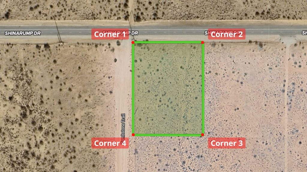
GPS Coordinates (2.54 ac. – boundary and points approximate, from County GIS – (Plat available HERE!)
| Corner 1 Coordinates | 35.156225, -114.2281 |
| Corner 2 Coordinates | 35.156225, -114.2271 |
| Corner 3 Coordinates | 35.1552, -114.2271 |
| Corner 4 Coordinates | 35.1552, -114.2281 |
School District
| Kingman Unified School District |
Nearby Attractions
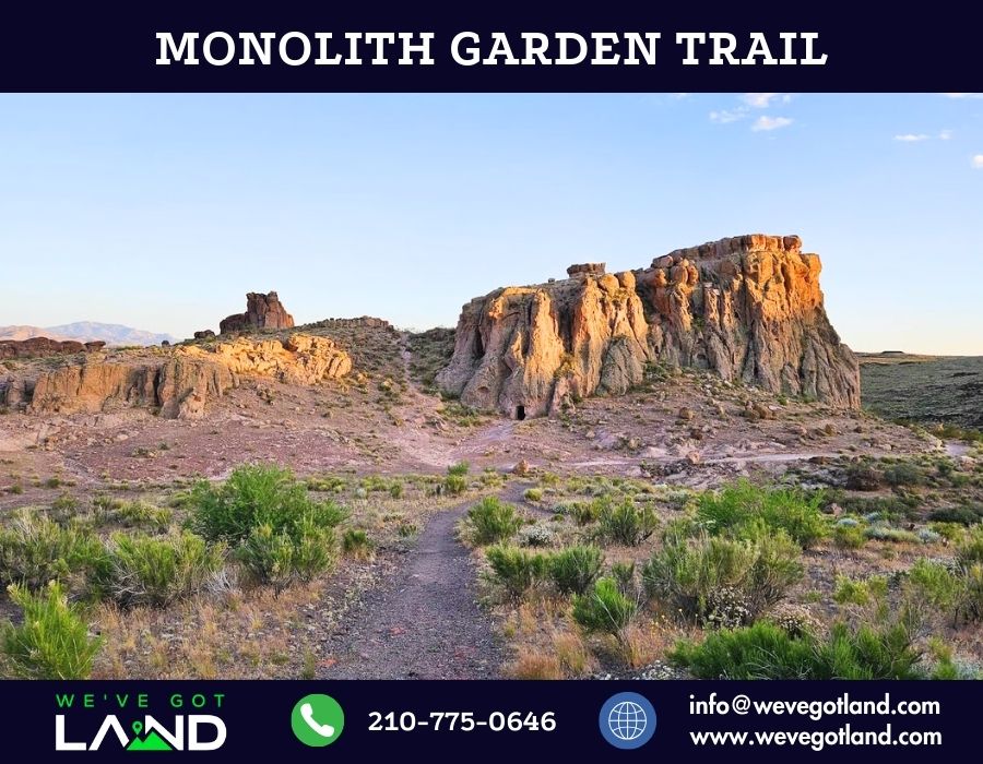
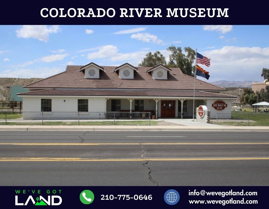
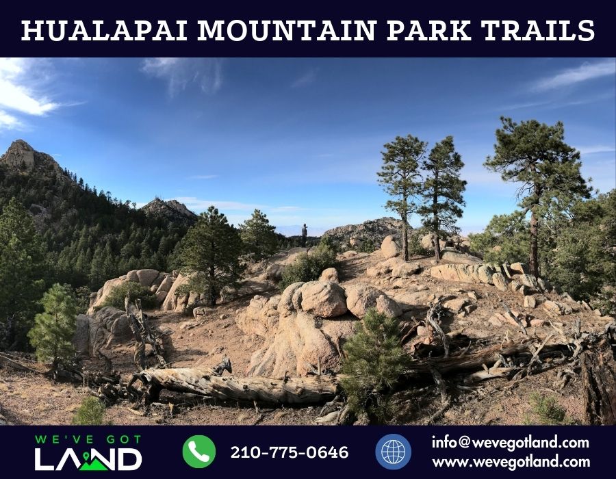
Points of Interest and Their Proximity
| Name | Distance |
|---|---|
| Golden Valley (center) | ~10 min drive |
| Kingman (center) | ~17 min drive |
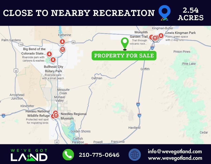
| Monolith Garden Trail | ~20 min drive |
| Laughlin, NV (center) / Colorado River Museum | ~30 min drive |
| Hualapai Mountain Park Trails | ~40 min drive |
| Lake Havasu City (center) | ~1 hr, 10 min drive |
| Las Vegas, NV (center) | ~1 hr, 40 min drive |
| Prescott (center) | ~2 hr, 35 min drive |
“Refer someone who buys land from us and we will pay a referral fee!!”
As a nationwide real estate investment firm specializing in land acquisition and sales, we empower our clients to make informed decisions. Although we don’t conduct on-site meetings, we strongly recommend you visit the property to experience its potential firsthand. Ready to explore? Contact us today to arrange your site visit!
Disclaimer: We make every effort to provide accurate and up-to-date information about this property based on available public sources and our own research. However, it is the buyer’s responsibility to verify all information, including but not limited to: zoning, access, utilities, buildability, and permitted uses. All buyers are encouraged to conduct their own due diligence before purchasing. This property is sold “as-is” with no warranties or guarantees, expressed or implied.