

🌄 4.6 Acre Off Grid Friendly Land 📍 Apache County, Arizona
This 4.6 acre parcel in Arizona Park Estates Unit II offers wide open desert land in a quiet part of Apache County, Arizona, suited for buyers who want space, flexibility, and minimal county oversight. Flexible owner financing options available!
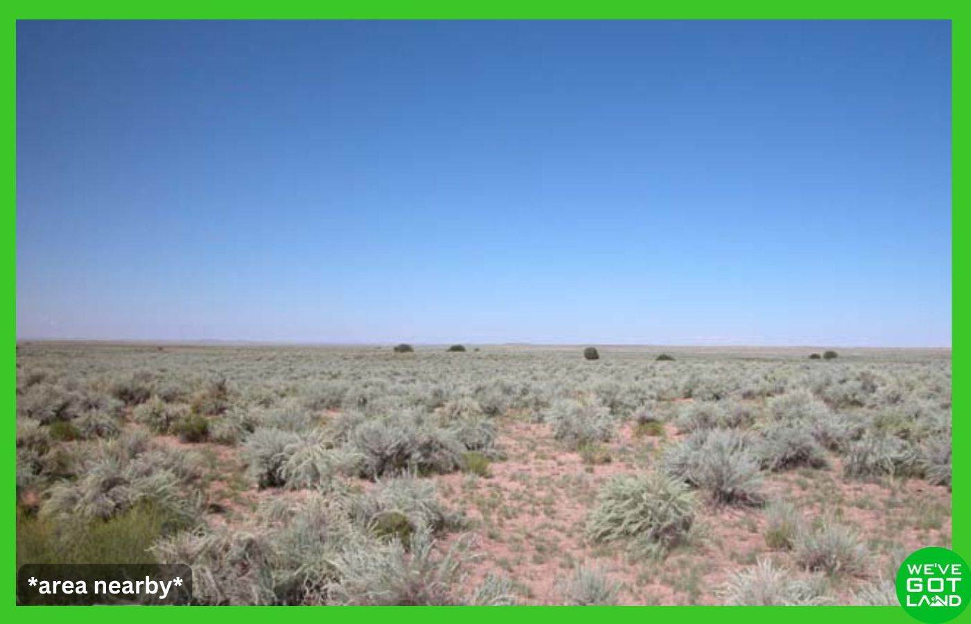
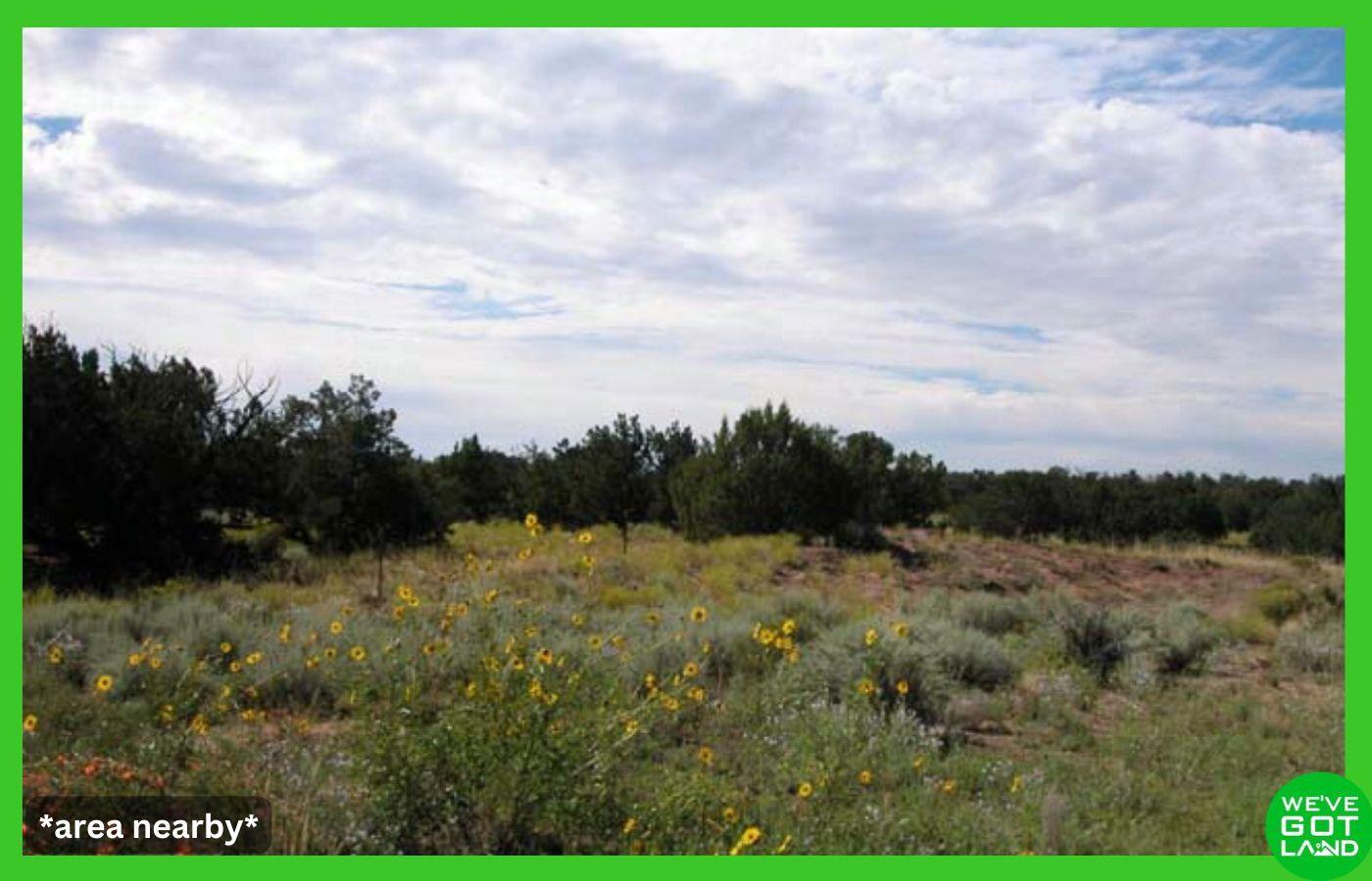
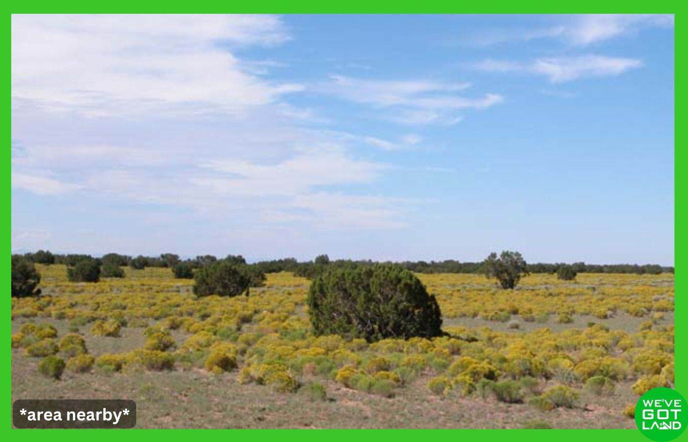

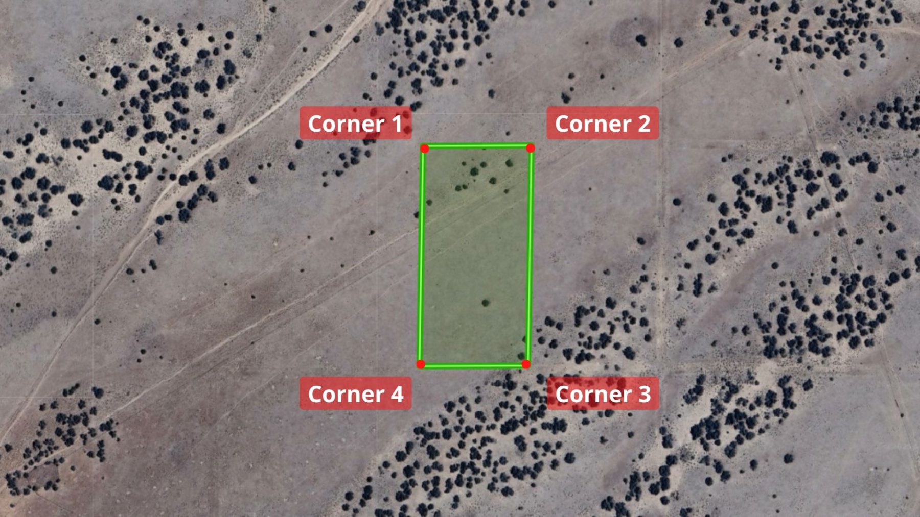
Click to browse images above!
This 4.6 acre parcel in Arizona Park Estates Unit II offers wide open desert land in a quiet part of Apache County, Arizona, suited for buyers who want space, flexibility, and minimal county oversight. Flexible owner financing options available!
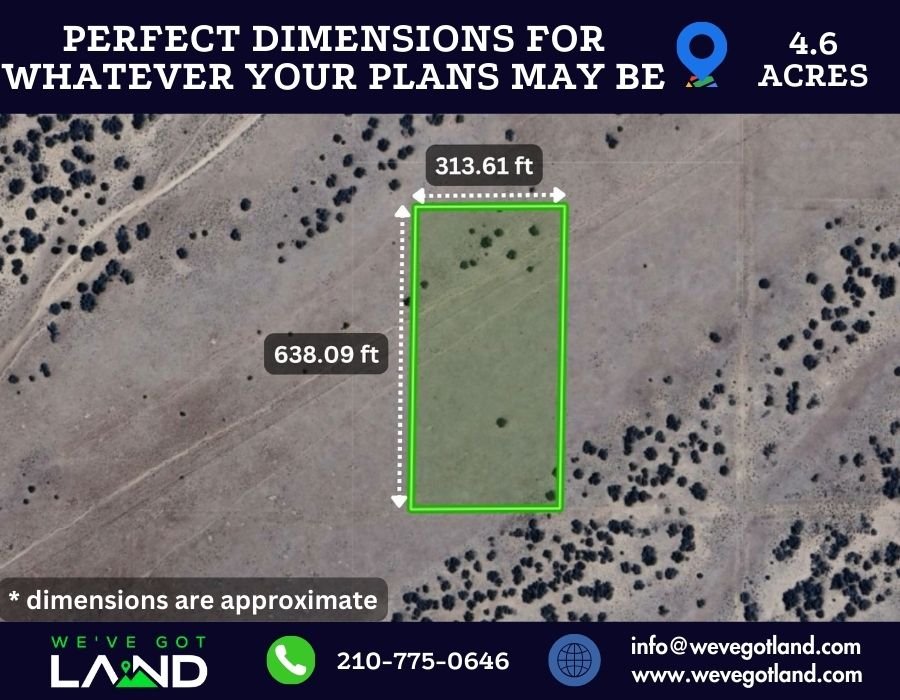
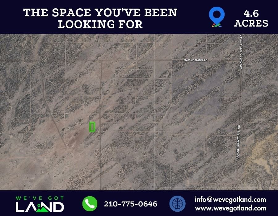
**boundary approximate**
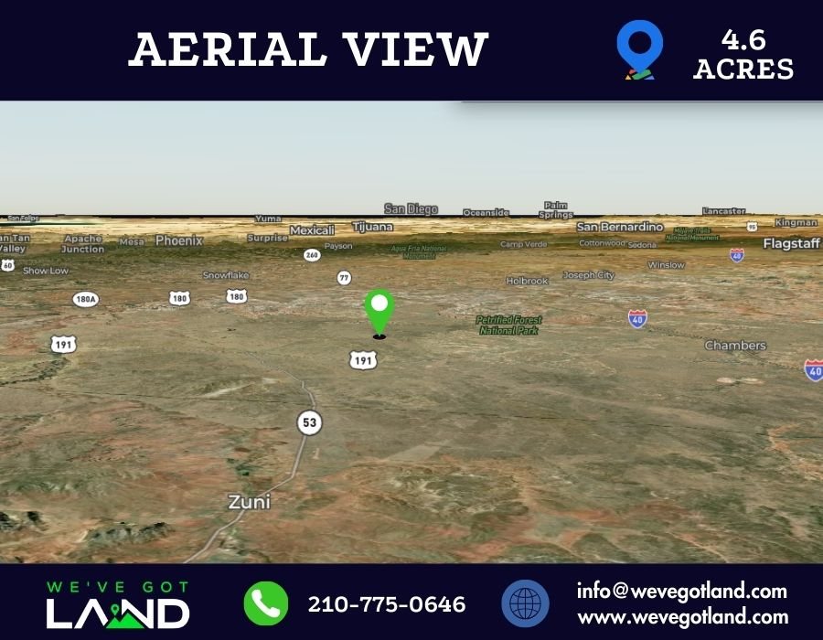
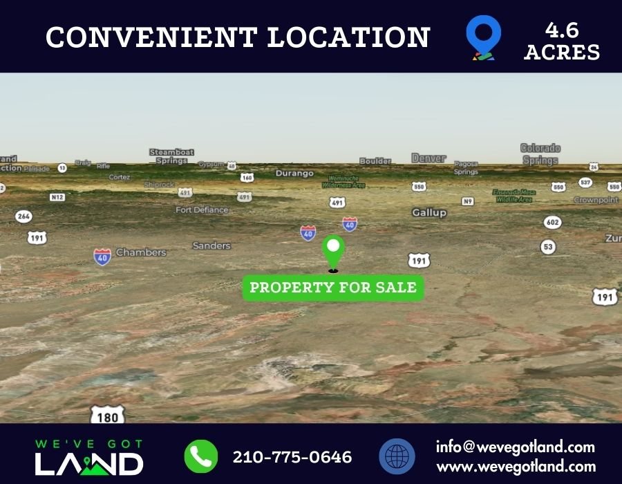
Located off Ranch Rd or N7413 (depending which direction you come from) close to U.S Hwy 191, the property sits outside city limits with agricultural general zoning, allowing a range of residential and recreational uses under county guidelines.
At just over 6,500 feet in elevation, the land provides cooler temperatures than lower desert areas and expansive high desert surroundings common to this part of northeastern Arizona.
With low annual taxes, no HOA, and camping, RV, mobile home, and tiny home allowances per county rules, this property supports both short term use and long term plans without pressure to build immediately.
🧾 Key Features
- 🌵 Parcel Size: 4.6 acres
- 📍 Location: 00 Ranch Rd, Chambers, AZ 86502
- 🗺️ Subdivision: Arizona Park Estates Unit II, Lot 127
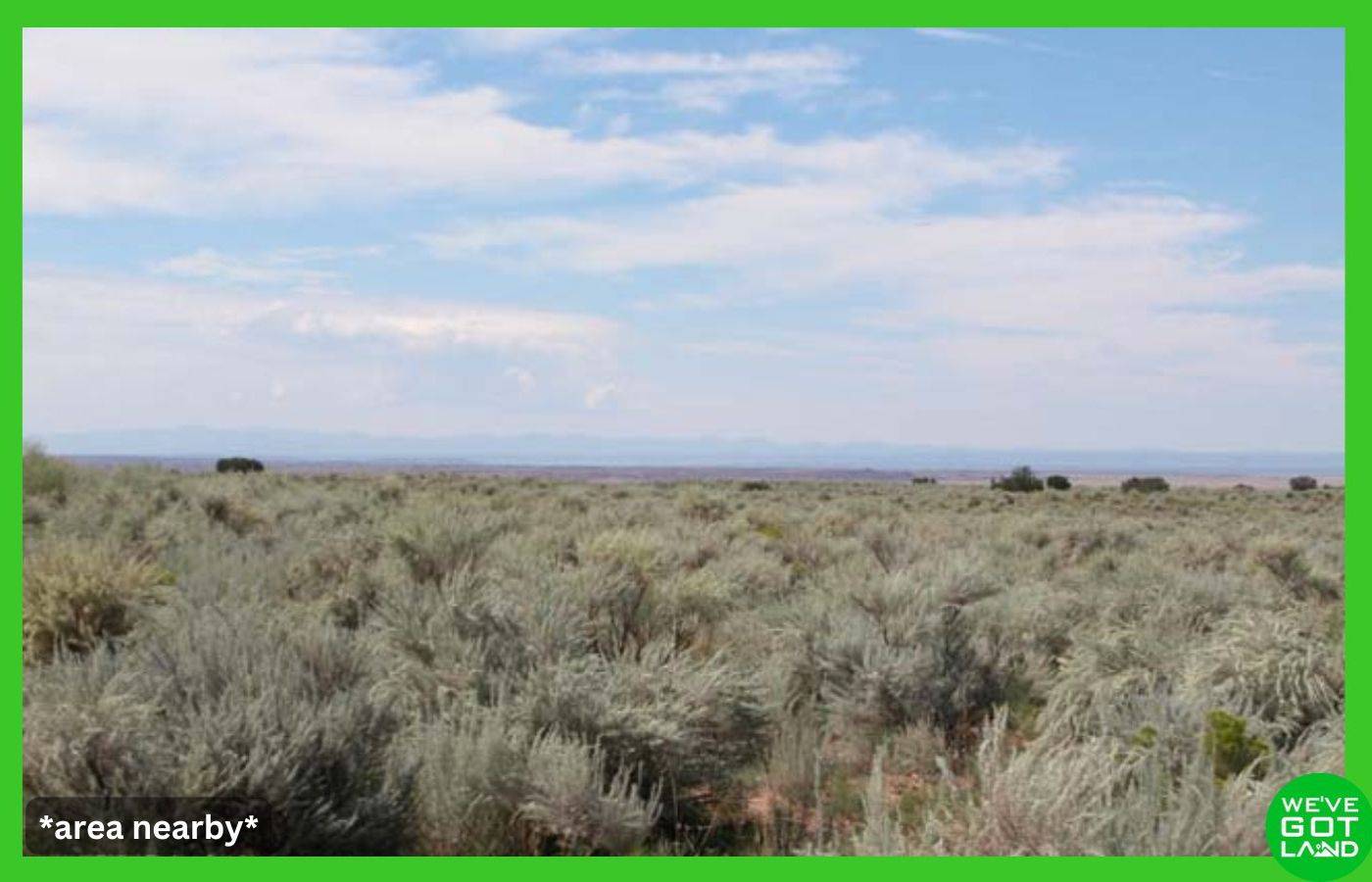
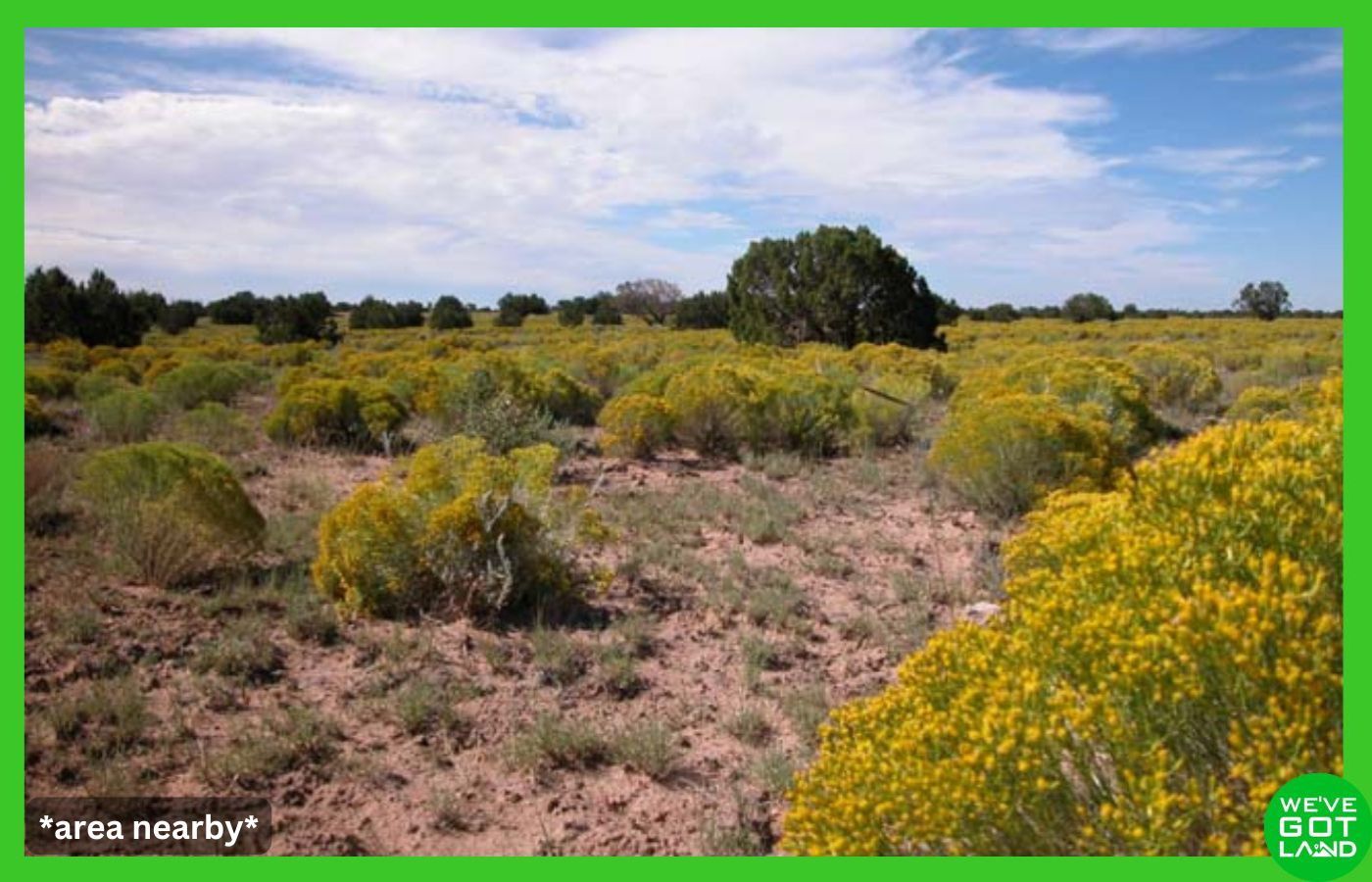
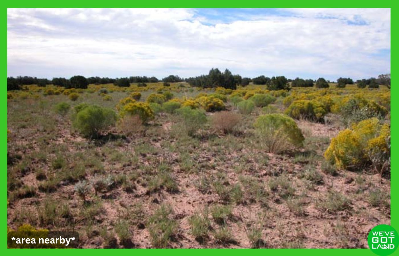
- 📐 Terrain: Desert land
- 🏔️ Elevation: Approx. 6,500 feet
- 🚗 Access: Platted dirt road via Ranch Rd and N7413, short overland distance
- 🏕️ Camping: Allowed per county
- 🚐 RV Use: Allowed, septic required for long term use
- 🦌 Wildlife: Deer, elk, coyotes, turkeys & quail frequently spotted
- 🏠 Mobile Homes: Allowed, must be 15 years old or newer
- 🏡 Tiny Homes: Allowed, minimum 200 sq ft, must meet building code
- 🏗️ Zoning: Agriculture General
- 💡 Electric: Off grid, solar or alternative systems
- 🚰 Water: Well or water hauling required
- 🚽 Sewer: Septic system required
- 🌊 Flood Zone: FEMA Zone D
- 💲 Annual Taxes: Approximately $17
- 🚫 No HOA: No fees or restrictions
📐 Property Overview
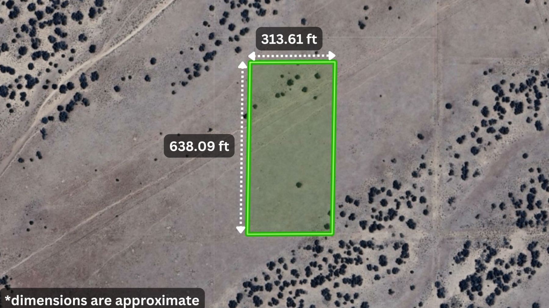
This 4.6 acre lot, Lot 127 in Arizona Park Estates Unit II, lies within Apache County. The parcel measures approximately 313 feet by 638 feet and features desert terrain with wide open views. The property is accessed via platted dirt roads, followed by a short overland approach to the parcel.
Utilities are not currently installed, making this property suitable for off grid solutions such as solar power, a private well, and septic installation as required by county planning. The parcel is located within FEMA Flood Zone D, indicating possible but undetermined flood risk, and no wetlands are present.
Zoning is Agriculture General, which allows one residential dwelling along with accessory structures. County rules permit camping, RV use, mobile homes, tiny homes, and short term rentals, provided county and state guidelines are followed.
🌄 Living and Owning Land in Apache County
Apache County is known for its open land, limited development pressure, and flexible rural living options. Property owners benefit from low population density, minimal zoning complexity, and low annual holding costs compared to many other parts of the Southwest.
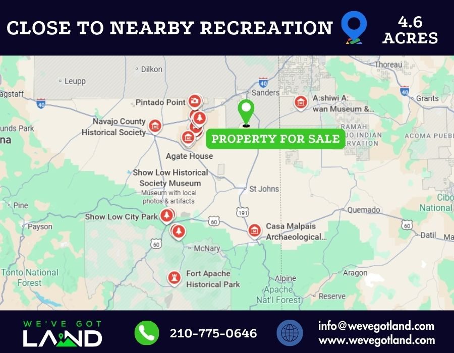
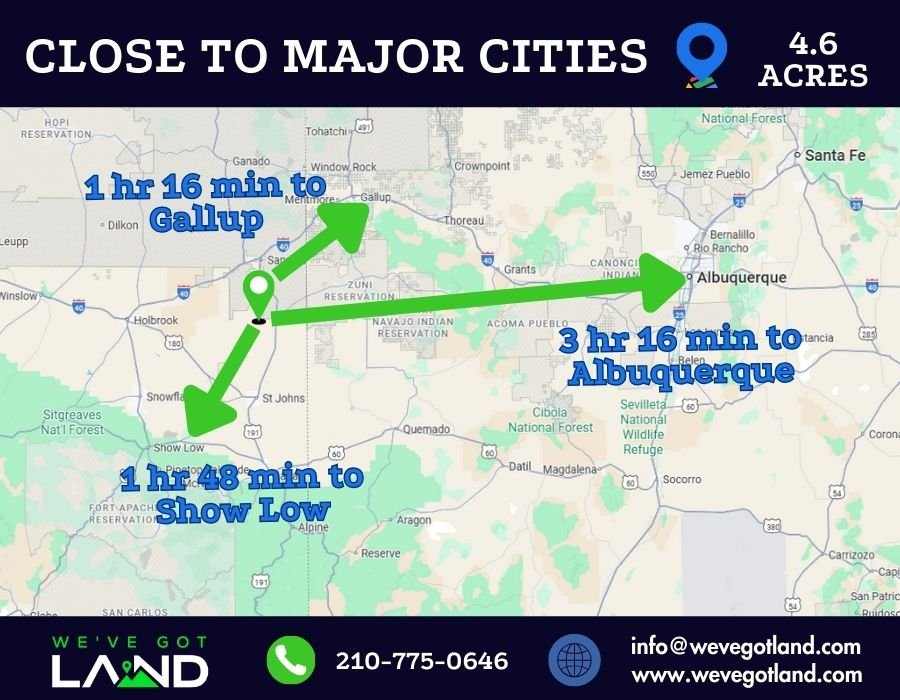
The area is within driving distance of the Petrified Forest National Park, a nationally recognized destination offering hiking, scenic drives, and geological landmarks. Nearby towns such as Holbrook and Sanders provide access to fuel, groceries, schools, and basic services, while Gallup, New Mexico offers additional shopping and medical facilities.
Arizona land ownership also allows year round access to outdoor recreation, strong solar potential for off grid living, and a dry climate that supports long term land use with limited maintenance.
📍 Nearby Points of Interest
- 🏞️ Petrified Forest National Park approx. ~1 hr
- 🏜️ Painted Desert Inn approx. ~1 hr
- 🏪 Gas and services in Sanders approx. ~35 min
- 🏙️ Gallup, NM approx. ~1 hr 15 min
📞 Wide Open Skies Calling Your Name?
This 4.6 acre property in Chambers, Arizona is available now with low annual taxes and no HOA restrictions. Contact us today to learn more and see if this Apache County land fits your plans!
By proceeding with a purchase, buyers acknowledge full responsibility for verifying all information and assume all risks associated with the property. The seller shall not be liable for any inaccuracies or the buyer’s failure to conduct proper due diligence.
Driving Directions
Starting in Chambers, Arizona 86512 on U.S. Highway 191 in front of the Exxon, head west and merge onto I-40 E for 5.6 miles. Take exit 339 for US-191 S toward St Johns, then turn right onto US-191 S for 14.4 miles. Turn right for 0.7 miles, then bear slight left for 3.6 miles. Continue onto Ranch Rd for 3.7 miles, then turn right and go due west approximately 1,085 feet to reach the southwest corner of the 4.6-acre property at 00 Ranch Rd, ARIZONA PARK ESTATES LOT 127 UNIT 2, Chambers, AZ 86502.
Total distance: 28.5 miles, approximately 42 minutes.
GPS Coordinates (approx. center)
Paste this into your map app:
34.95235, -109.35145
Property Information
Parcel Size
4.6 Acres
State
Arizona
County
Apache County
Nearest Cities
Sanders, AZ – Chambers, AZ – Holbrook, AZ
Parcel #
206-09-127
Address
There isn’t an assigned address yet on Ranch Rd, Chambers, AZ 86502
Legal Description
Subdivision: ARIZONA PARK ESTATES UNIT II Lot: 127 Section: 15 Township: 18N Range: 28E
Features
Acres
4.6
Dimension
~313.61 ft x ~638.09 ft
County
Apache
Subdivision
Exists
Access
Dirt road, with some overland required (4WD / High Clearance Recommended)
Power
Solar/alternative
Water
Will need to install well / haul water
Coordinates
34.95235, -109.35145
Zoning
(AG) – Agricultural General
Elevation
~6500 ft
All Property Details
| County | Apache County, AZ |
| Street | There isn’t an assigned address yet on Ranch Rd, ARIZONA PARK ESTATES LOT 127 UNIT 2, Chambers, AZ 86502 |
| Parcel number | 206-09-127 |
| Size | 4.6 acres |
| Terrain | Mostly level, scattered shrubbery |
| Access | Dirt road, with some overland required. Platted/planned access, not developed (4WD / High Clearance Recommended) |
| Property Zoning | (AG) – Agricultural General – see Land Uses here for more info on accepted uses. |
| Taxes | ~$17.02 annually (2025) |
| Buildable? | Yes – One house can be built, along with accessory structures. Tiny homes are allowed as small as 200 sq ft (follow building code). Mobile homes allowed, not more than 15 years old. See Land Uses here for more info on accepted uses. |
| RV’s | RVs are allowed for temporary use. If long-term, must install septic and dispose of waste/trash properly. |
| Camping | Camping is allowed. (must dispose of waste/trash properly.) |
| Electric | Solar or alternative |
| Water | Will need to install well / haul water |
| Sewer | Will need to install septic if building or using RV long term |
| Gas | None available |
| Elevation | ~6500 ft |
| Flood zone | In Floodzone D (undetermined risk) – Per FEMA – #04001C3475E |
| Legal description | Subdivision: ARIZONA PARK ESTATES UNIT II Lot: 127 Section: 15 Township: 18N Range: 28E |
| Utilities disclaimer | We do not make recommendations on any vendors. The utilities installer contacts listed are purely for your information. There may be other options available in the area. Please use this information at your own discretion |
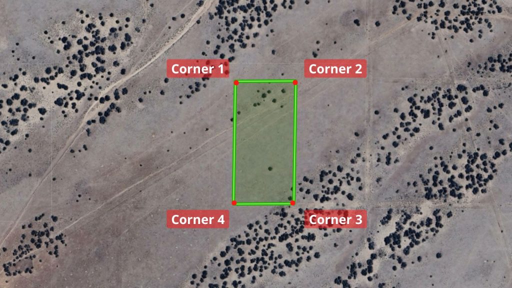
GPS Coordinates (approximate)
| Corner 1 Coordinates | 34.9532, -109.3520 |
| Corner 2 Coordinates | 34.9532, -109.35092 |
| Corner 3 Coordinates | 34.9515, -109.35095 |
| Corner 4 Coordinates | 34.9515, -109.3520 |
Nearby schools
| Elementary School | Sanders Elementary School |
| Middle School | Zuni Middle School |
| High School | Valley High School |

Area attractions
| Name | Distance |
|---|---|
| Nearest Point of U.S. Hwy 191 | ~22 min |
| Chambers (center) | ~42 min drive |
| A:shiwi A:wan Museum & Heritage Center | ~50 min drive |
| Petrified Forest National Park | ~1 hr drive |
| St. Johns (center) / Apache County Historical Society Museum | ~1 hr drive |
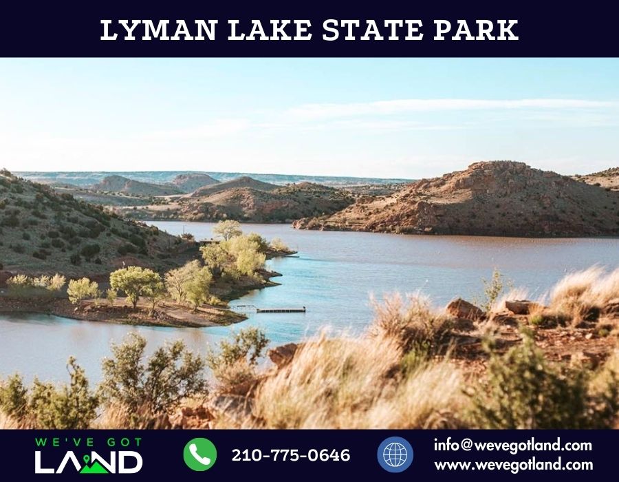
| Lyman Lake State Park | ~1 hr, 15 min drive |
| Holbrook (center) | ~1 hr, 20 min drive |
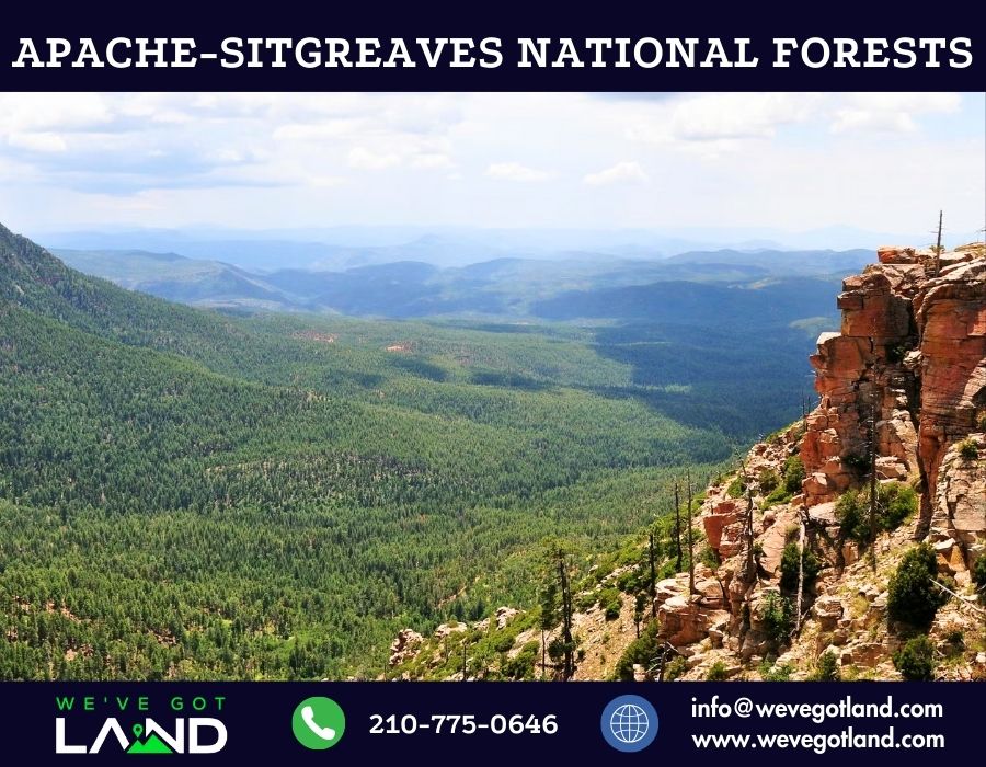
| Apache-Sitgreaves National Forests | ~1 hr, 35 min drive |
| Flagstaff (center) | ~2 hr, 40 min drive |
“Refer someone who buys land from us and we will pay a referral fee!!”
We are a real estate investment company. We buy and sell land throughout the country, so we are unable to meet you at the property. We are not utilizing the services of a realtor, so you are welcome to visit the property at any time. We encourage you to visit the property at your convenience to make sure the property suits your needs.
Disclaimer: We have not been to this property. Everything we know is in this ad. No warranties are stated or implied. Land is being sold as is. Buyer is responsible for doing all due diligence and verifying accessibility, utilities, build-ability and all other information contained herein prior to purchase.
Low Down payment!